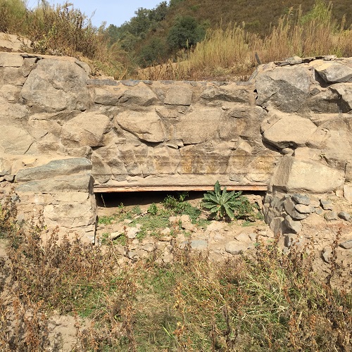
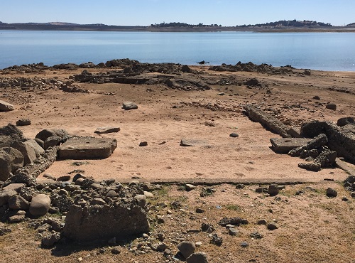
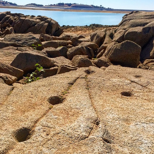
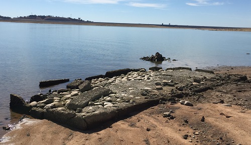
This page is dedicated to the pictures I’ve taken around the Folsom Lake State Recreation Area. Some are along the Pioneer Express Trail as far north as Auburn. Other pictures show items revealed at low water levels such as the remnants of the North Fork Ditch, unusual rock formations or other items of historical, geological, flora or fauna interest. Almost all of these photo, many enhanced with Instagram, have been posted in the various blogs I’ve done about history and hiking around Folsom Lake. Click on image to enlarge it.
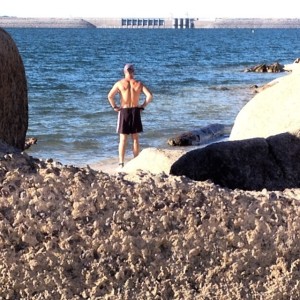
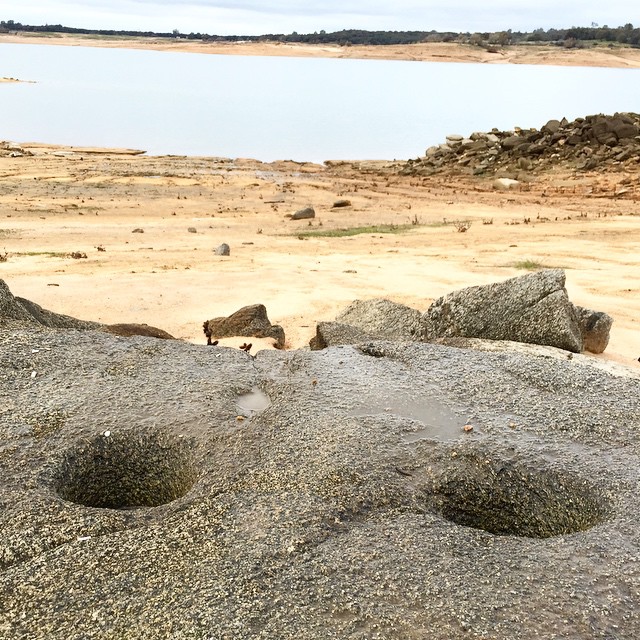
2015 Drought Lake Levels
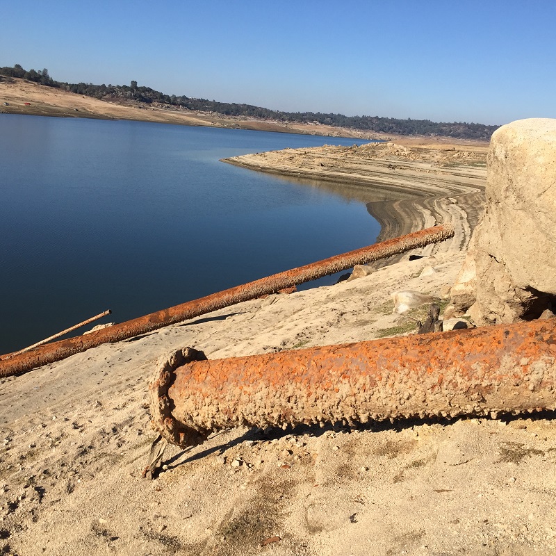
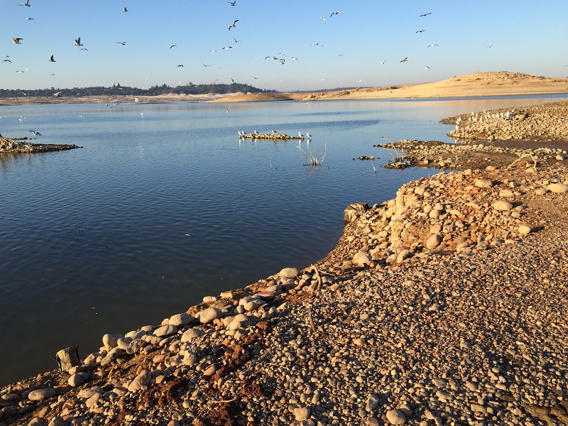
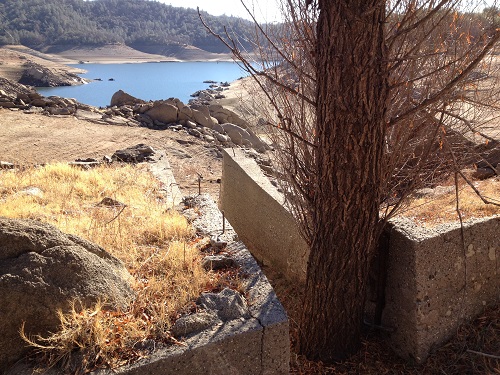
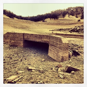
As the historic 2015 drought continued and the Bureau of Reclamation released unprecedented amounts of water from Folsom Lake, I routinely go down into the lake bed and take pictures. I doubt that the lake will ever get this low again for many years. The lowest point during this current drought was February 4, 2014, then the lake started to fill back up. But since I lost many of those image because of hard disk crash, I’m focused on trying to capture as many low water level pictures as possible before the big forecasted El Nino arrives in the autumn. I’ll be posting recordings and pictures.
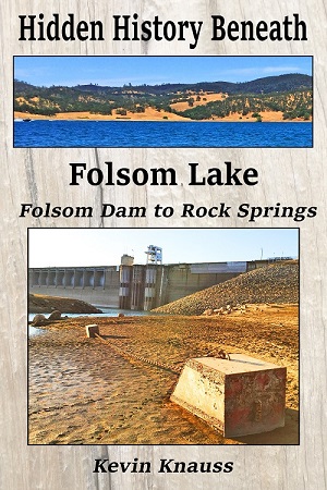
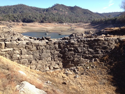
Download Hidden History Beneath Folsom Lake, Folsom Dam to Rock Springs for free. This ebook is the first of a five part series on the historical gold rush sites that were revealed when Folsom Lake reached record low levels during the drought of 2014 – 2015. Click on the book cover to go to Smashwords ebook retailer to download.

Folsom Lake, October 31, 2015 at 15% capacity

October 17, 2015, Recording in front of Folsom Dam Spillway Construction

October 4, 2015, Rose Springs pond by Dyke 5

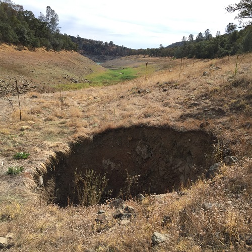
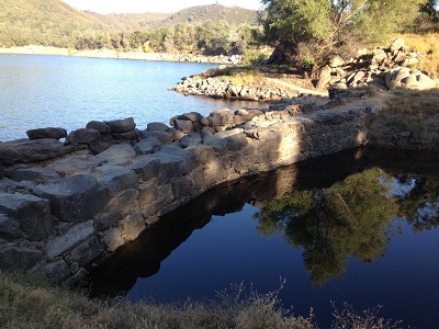
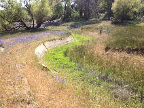
This is, what I believe to be, Rose Springs shown on many old maps of the area. This continuous trickle of water has created a green wetland oasis in an otherwise drought parch Folsom Lake bed. Rose Springs is just east of Dyke 5. It use to drain west toward Linda Creek until the Folsom Dam Dyke 5 was built. Then they cut a drainage channel on the northern toe of Beal’s Point to drain the water away from the base of Dyke 5 into Folsom Lake to the east. See Historic Rose and Rock Springs of Granite Bay for more information.
Folsom Lake September 5, 2015
The Bureau of Reclamation reported that they had reduced the flows out of Folsom Lake to conserve water.
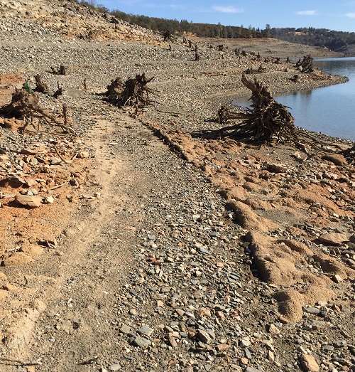
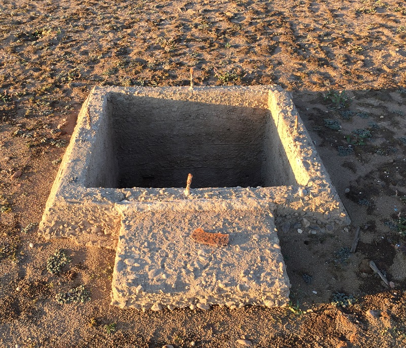
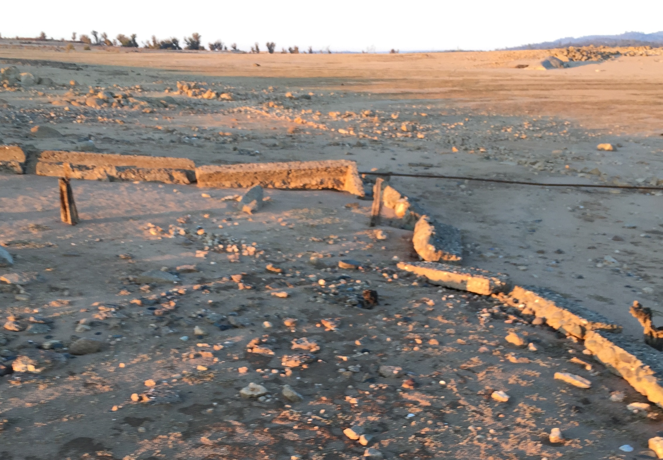
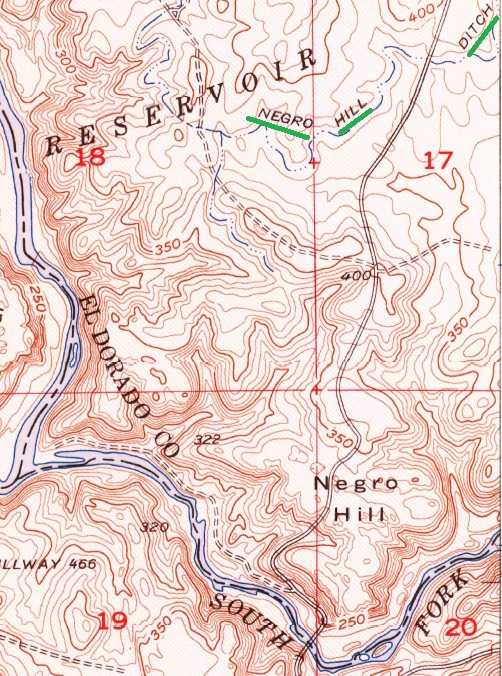
Negro Hill Ditch
These are pictures taken along the Negro Hill Ditch that ran along the north side of the South Fork of the American River between Salmon Falls Bridge and the tip of the peninsula.
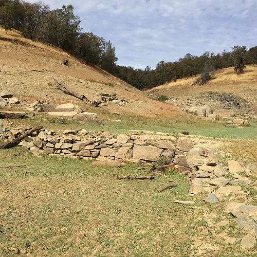
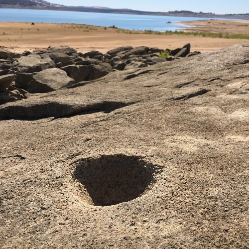
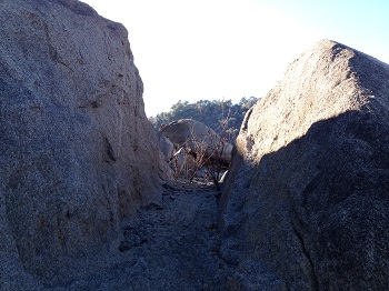
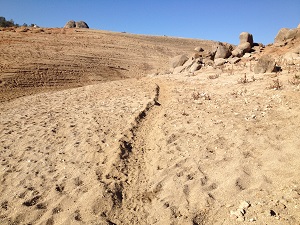
2015 low water lake pictures
Folsom Lake Peninsula Drought Hike Pictures
Click to enlarge
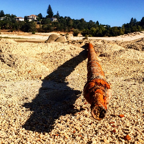
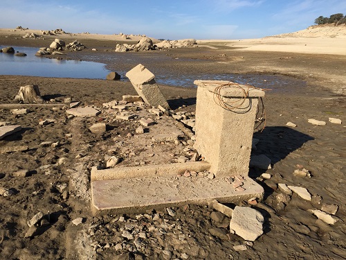
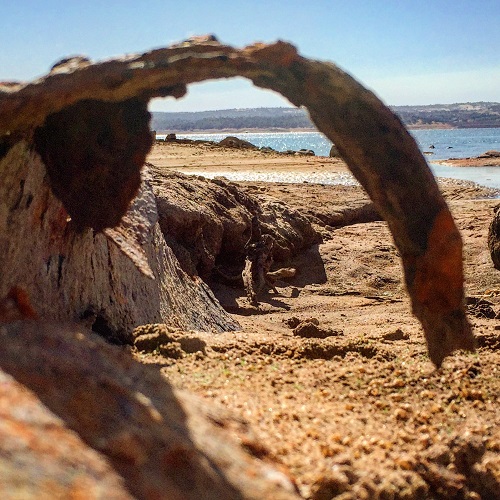
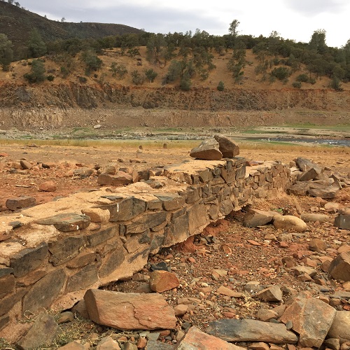
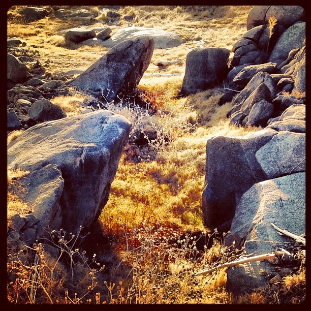
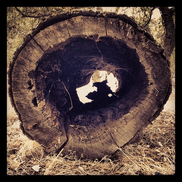
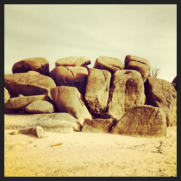
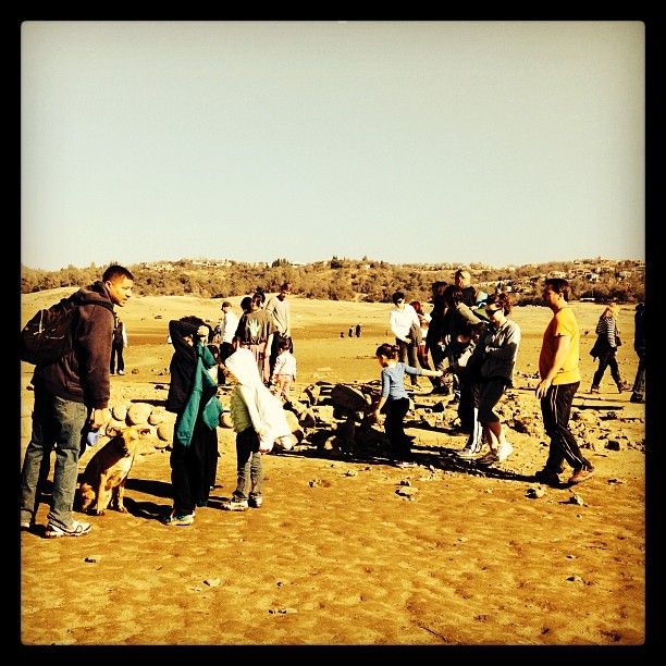
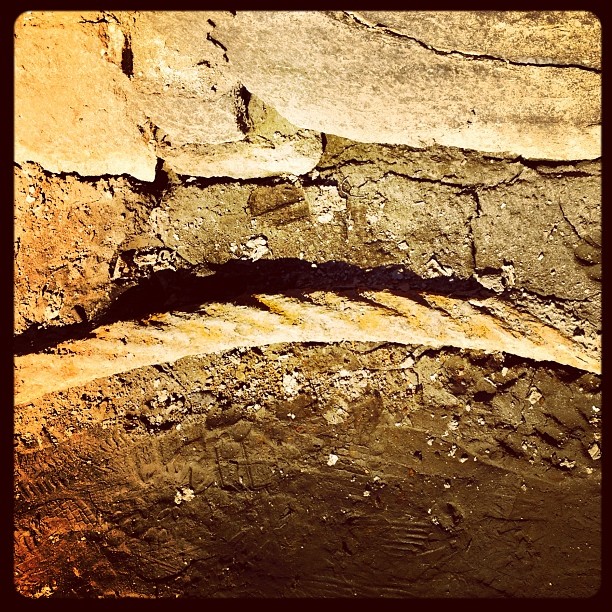
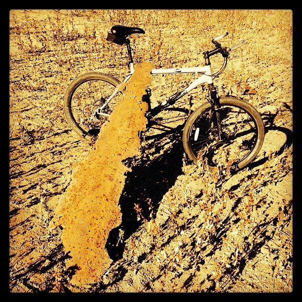
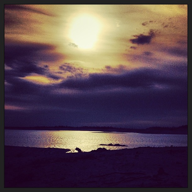
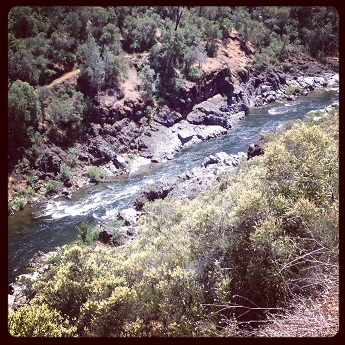
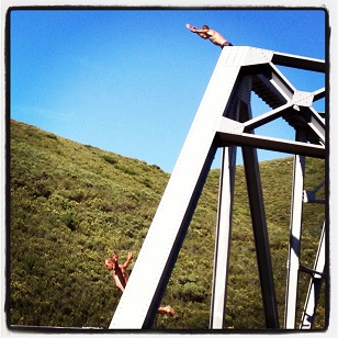
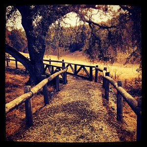
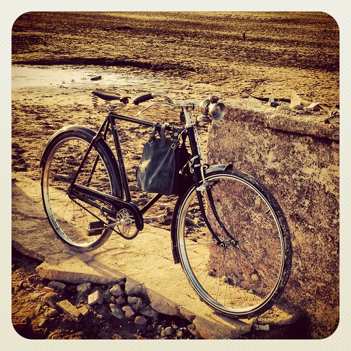
Folsom Lake Instagram photos
These are photos around Folsom Lake and the Peninsula Campground that have been posted to Instagram. There are some duplicates to the photos posted below from other blog posts.


Peninsula Campground to Wild Goose Flats
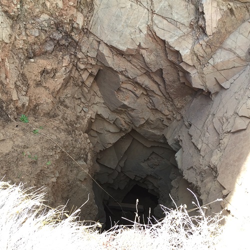
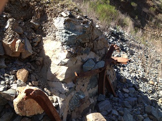
Picture gallery from a hike up the east side of the north fork of the American River at Folsom Lake. Blog post: Anderson Island bridge and Zantgraf Mine hike

Pictures between Beeks Bight and Horseshoe Bar, from the blog Biking and Hiking the North Fork Ditch
Older images from around Folsom Lake and Auburn State Recreation areas

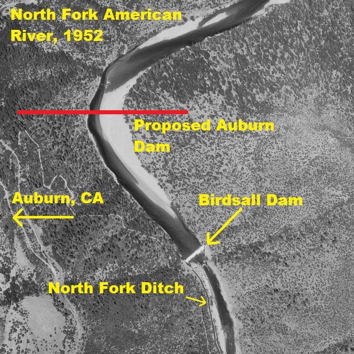
North Fork American River Historic Photos
To read about the Birdsall Dam visit Hiking down to Birdsall and Knickerbocker Waterfalls . Click images to enlarge.