The best maps of the California Central Railroad route are the 1857 Sacramento Valley Railroad Extension map and the 1864 Central Pacific Railroad Lower Extension Map.
1857 Sacramento Valley Railroad Extension
[wpfilebase tag=file id=1503 /]
The extension from Folsom to Roseville would be built by the California Central Railroad.
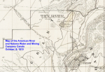
1910 American River & Natoma Water & Mining Company Canal Map
This map, although drawn in 1910, shows the California Central Railroad line that hadn’t been used in over 40 years.

Read the blog post on the California Central Railroad.

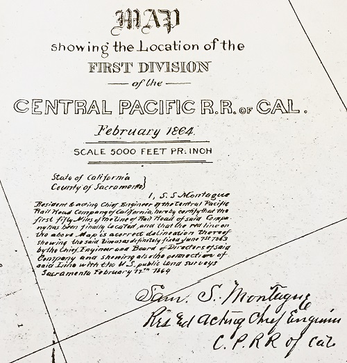

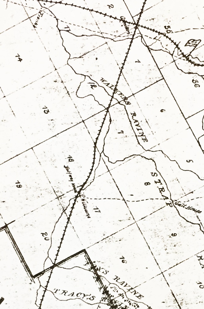

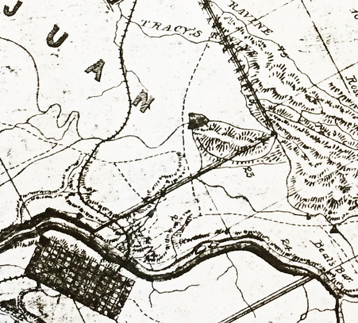

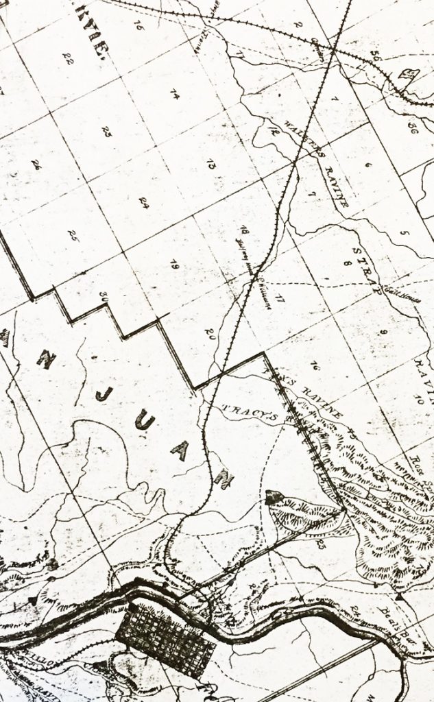
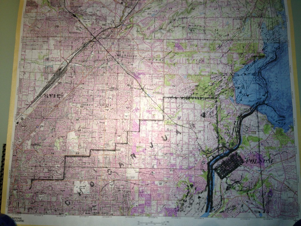
Central Pacific Railroad map overlay on USGS topographic map
The picture below is the Map of the First Division of the Central Pacific RR, February 1864 over a 1980′s USGS topographic map. The goal was to see how the 1864 map showing the location of the California Central Railroad aligned to our estimate of the original CCRR grade.