
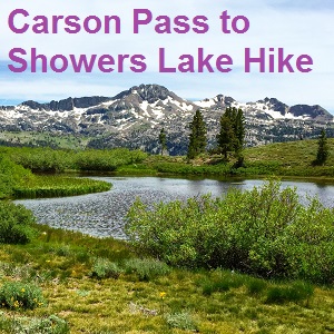

Hiking from Carson Pass to Showers Lake
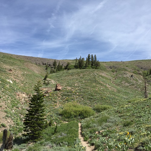
This part of the Pacific Crest Trail is well worn and easy to follow. Except for the moderate elevation gains at the beginning of the hike and the portion up to Showers Lake, most of the trail is flat. The trail head starts right at the parking lot off Highway 88 at 8,560 foot elevation. You’ll immediately climb to the top of the ridge north at 8,800 foot elevation. Then the trail makes slow descent before the last mile up to Showers Lake which tops out at 8,700 foot elevation.


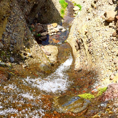
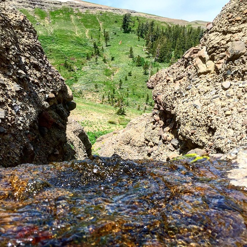
Snow melt fed creek erodes Carson range, creating a waterfall of water into the valley below.
Climbing a waterfall
I did venture off the trail to scramble up some loose rocky hillside to investigate a small rivulet of snowmelt that creates a seasonal creek and waterfall. It’s interesting that this massive hilltop, part of the Carson Range, is cemented unconsolidated rock. The rocks cemented in mud look only slightly larger than what you might find in roadway asphalt. At first glance you would swear that this was the worst looking discarded concrete you’ve ever seen. This massive layer of hardened mudflow and lake bottom, better known as the Carson Range, sits atop the granite plutons of the Sierra’s that lifted it up. The creek has cut right through this otherwise very tough cemented rock layer.
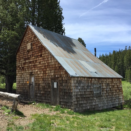
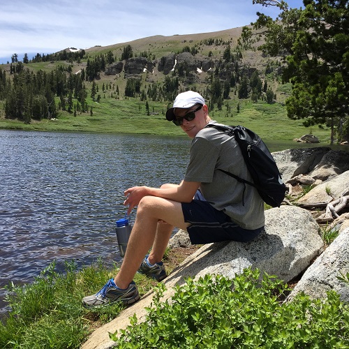
Meiss Cabin and hopping over creeks
Back on the main Pacific Crest Trail you’ll come across the old Meiss cabin and barn built in approximately 1880. It’s just a beautiful high mountain meadow. You can see why the Meiss family used to summer their cattle herd up in the mountains with all the green foliage. You’ll also across numerous creeks and tributaries of the Truckee River. Large rocks have been placed at the crossings so you can carefully step across the creeks without getting wet. From there you make the short and moderately steep ascent up to Showers Lake.
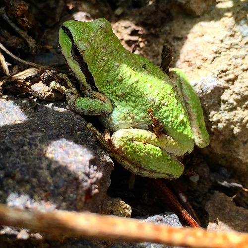
This is a hike that you don’t have to think about, you just walk. The scenery is nice, but it’s not overwhelming. If you are into plants, critters and geology then there is a lot to look at.


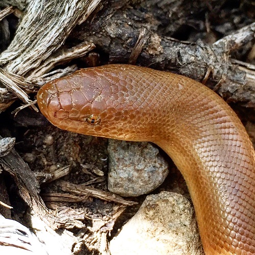
Brown Rubber Boa Snake

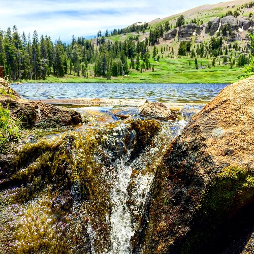
Snow melt creek eroding Carson Range

Carson Pass to Showers Lake aerial map

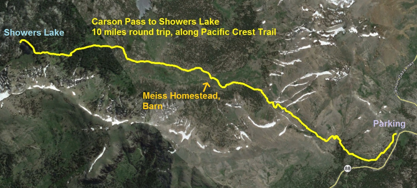
Carson Pass to Showers aerial trail map, 10 miles round trip, mostly flat, moderate elevation gain.