

Hiking around the Bodie Hills and up to Jeff Davis Peak.
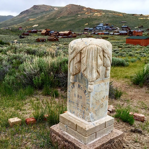
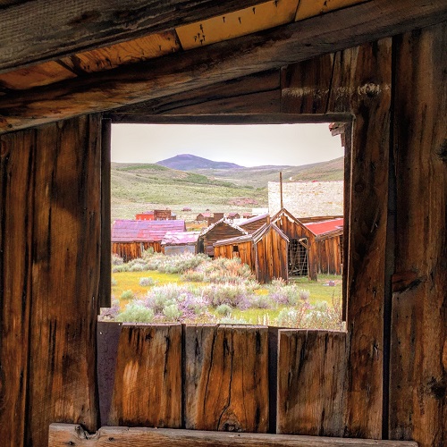
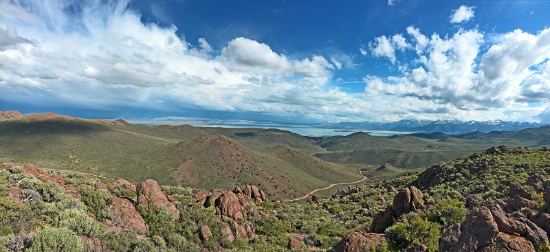
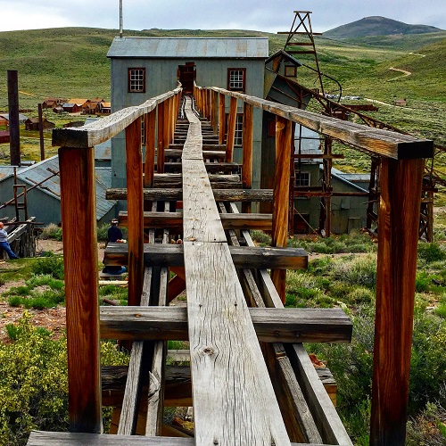
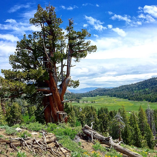
The mining ghost town of Bodie is a visual and historical treat all by itself. But few of the visitors to Bodie State Park stay to hike around the Bodie Hills. Directly south of the old mining town on Cottonwood Canyon Road are some nice gentle hiking trails. The best part of the hike is the tremendous views you’ll get of the town of Bodie to the north and Mono Lake to the south.
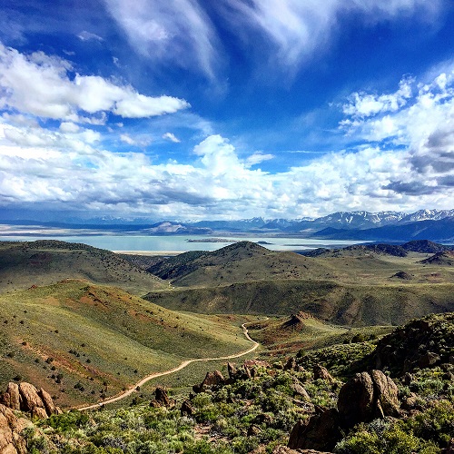
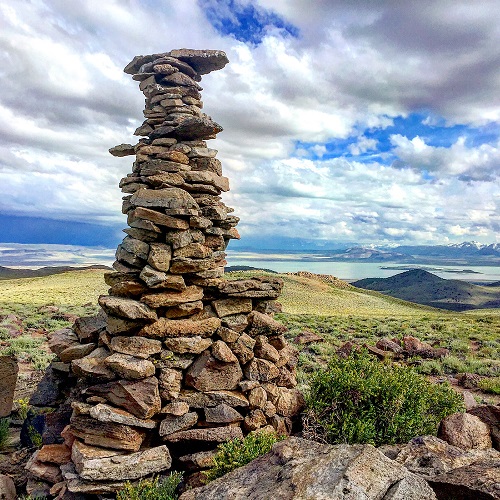
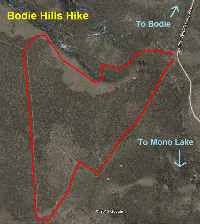
Bodie Hills above Mono Lake
We parked just at the top of the grade when the road starts its descent down to Mono Lake. The hike was less than two miles in length but the clear skies at an elevation of 8600 feet combined with the white clouds was indeed picturesque. It is a different experience from walking around the arrested decay of ruins of the Bodie ghost town. Up on the hill that overlooks both the town and the lake you can get a genuine feel for how the early prospectors, miners, and residents of Bodie would have seen the surrounding landscape.
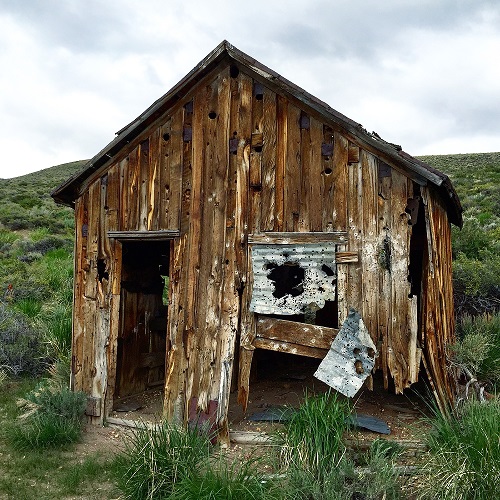
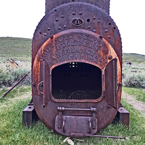
From the summit of Cottonwood Canyon Road we spied an abandoned miner’s cabin of similar construction to the buildings in Bodie. We drove down the hill and walk around those ruins of an old mining camp. The dirt road has steep descent down to Mono Lake and the intersecting highway 167 or Pole Line Road. The canyon is beautiful itself as remnants of a volcanic era jut out along the hillsides.


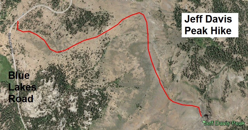
Hiking up to Jeff Davis Peak
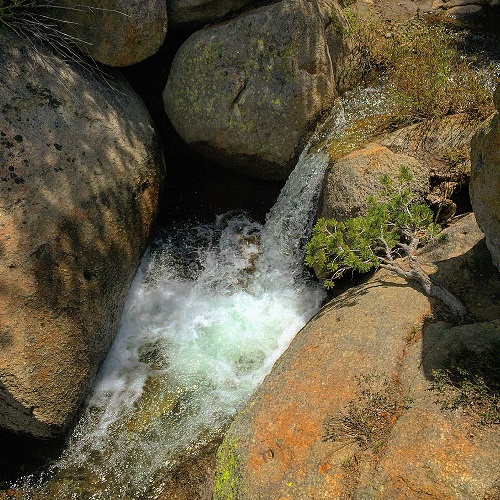
We coupled the visit to the Bodie Hills with hike in Hope Valley along Blue Lakes Road in Alpine County. Our original destination were the Blue Lakes, but one of the many gates was closed at mile seven preventing us from driving all the way to the lakes. We were still able to walk along many of Humboldt-Toiyabe National Forest roads. When we came across a creek swollen from June snow melt, we just followed the creek up the hill until we found a place to easily jump across.
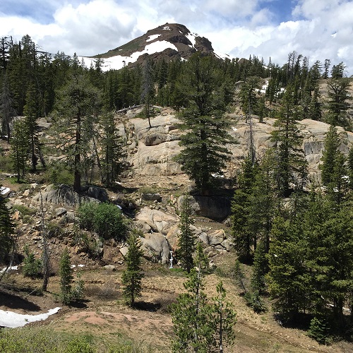
While parts of the area can be very steep, there are lots of granite outcroppings to scramble over with great views of the surrounding mountain peaks such as Deadwood, Roundtop, Nipple and Jeff Davis. The nearly vertical columnar nature of the Jeff Davis Peak can be seen from miles away. It was a beacon that called us to explore. We eventually came across a trail that would take us up to the top.
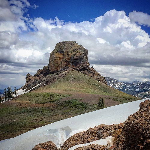
It is speculated that the unique Jeff Davis peak was the plug of an ancient volcano. The sides of the former volcano have eroded away leaving a solid vertical piece of rock. The trail, starting at Blue Lakes Road is only one and a half miles to Jeff Davis Peak. The elevation gain is approximately 600 feet, from 8300’ to 8900’. However, since our car was parked on Blue Lakes Road at about 7400 feet, we climbed a greater distance getting to Jeff Davis.
The landscape along the trail only has some low growth and very few trees. On the day we hiked to Jeff Davis, numerous thunderstorms were swirling and building to the west. Thunder could be heard off in the distance, so we didn’t tarry too long at the top not wanting to become a lightning rod on the ridge. I will certainly be back to spend more time at Jeff Davis Peak and exploring the hills around Bodie.


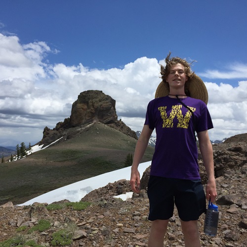
Walker Knauss, home from Williams College, hikes to Jeff Davis Peak.