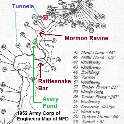
There was not just one tunnel on the North Fork Ditch, but two tunnels. Both tunnels are listed on an Army Corp or Engineers map of the North Ditch Fork before Folsom Dam was completed and the lake filled. In order to locate the first tunnel, I hiked down along the North Fork of the American west of Oregon Bar, below Auburn.
Because of the steep terrain, it is virtually impossible to reach parts of the old North Fork Ditch from the Pioneer Express Trail that runs above it. The North Fork Ditch, under construction in 1854, is relatively close to the river for several miles below the original dam at Tamaroo Bar. However, once you leave the Pioneer Express Trail at Oregon Bar to hike next to the river, you are hiking over cliffs, boulders, loose cobble, and sand bars.

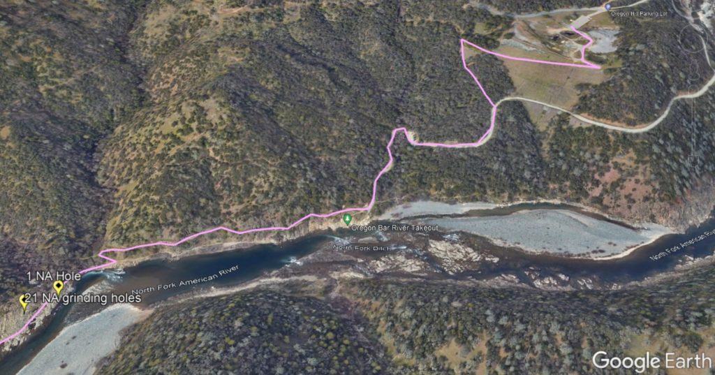
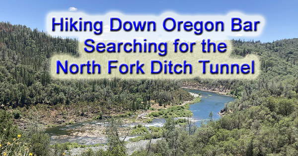
Oregon Bar Hike To the North Fork of the American
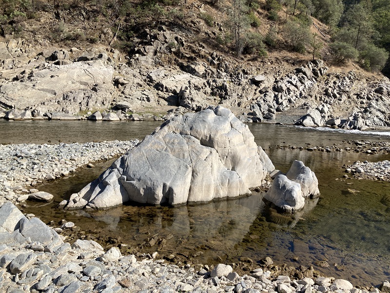
From my car at the Oregon Bar parking lot, to the point where I estimated the first tunnel was located, is a little over 2.65 miles. However, those 2 miles, along the river, over the river cobble, cliffs, and sand bars is some of the most challenging and strenuous terrain I have hiked over. There are points where bare rock juts into the river and you must literally climb up and over the slate or granite.
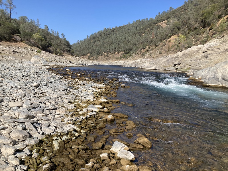
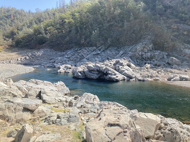
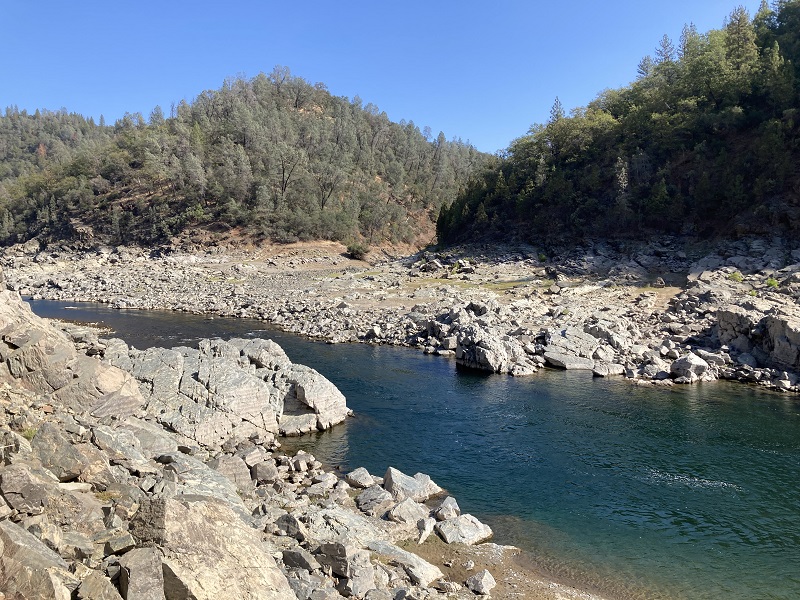
This part of the river is only accessible when the lake is low and the river flow has decreased. This means late summer or early fall. Because the hike is on the north side of the river, below the south facing canyon, it is best to undertake the hike when temperatures are below 90 degrees. Regardless, if the sun is out, you will work up a sweat.
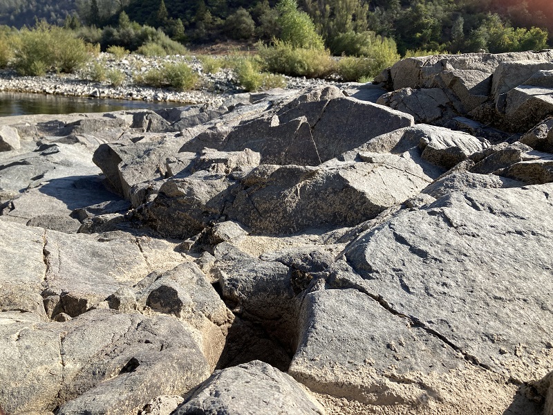
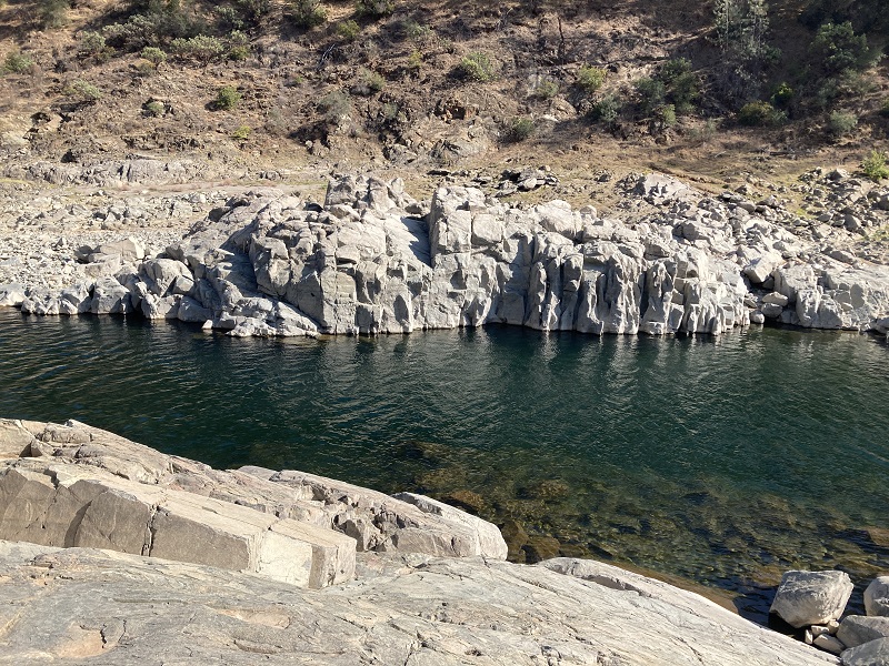
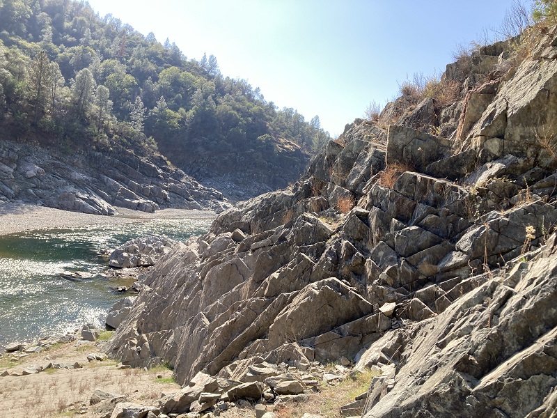
Even though the river landscape has changed somewhat from 1849, the river canyon is much the same. It is impressive to imagine men working to construct the North Fork Ditch, build rock retaining walls or wooden flumes in the canyon with such steep slopes. At this point, the North Fork Ditch is above the high-water mark of Folsom Lake. Unfortunately, much of the ditch has been destroyed by rock and dirt slides over the years.
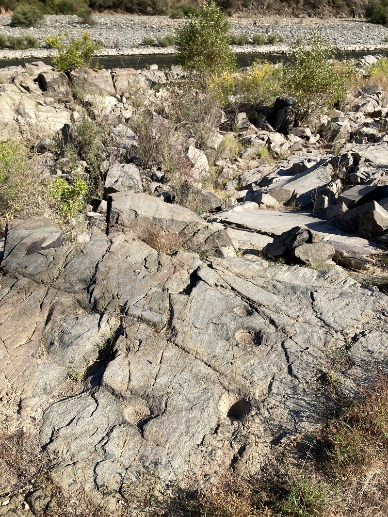
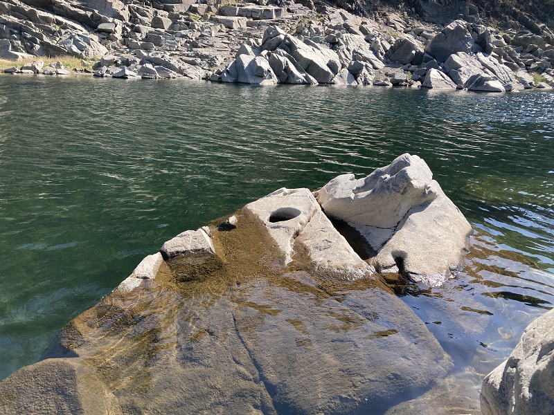
In addition to the sheer beauty of the wild river canyon, I did come across several Native American bedrock mortar grinding holes and one hole by the river that looked like it was for cooking because of its width and depth. On an earlier hike on the Pioneer Express Trail, I came across some brown bears. On this hike, I saw no animals or humans once I got off the trail.
Tunnels of the North Fork Ditch
The information I have on the tunnels along the North Fork Ditch comes from the transcript of the 1898 lawsuit, “Sacramento Electric, Gas & Railway Company vs. C.W. Clarke, H.G. Smith and A.N. Buchanan.” Sacramento Electric, owners of the Folsom Powerhouse were suing the owners of the North Fork Ditch for diverting too much water from the American River. One of the points of interest were the tunnels that were enhanced to increase water flow in the ditch from Auburn down to Orangevale.
The testimony on the various tunnels and their locations was clear to people who were familiar with the ditch in 1898. However, 125 years later, location names have faded or changed making it difficult to pinpoint exact locations of some of the structures discussed. There was also conflicting testimony about how many tunnels were on the ditch and their distance downstream from the Birdsall Dam. The one tunnel I was looking for was noted in testimony as having been cut through slate, as opposed to the prevailing granite on the Placer County side of the river.
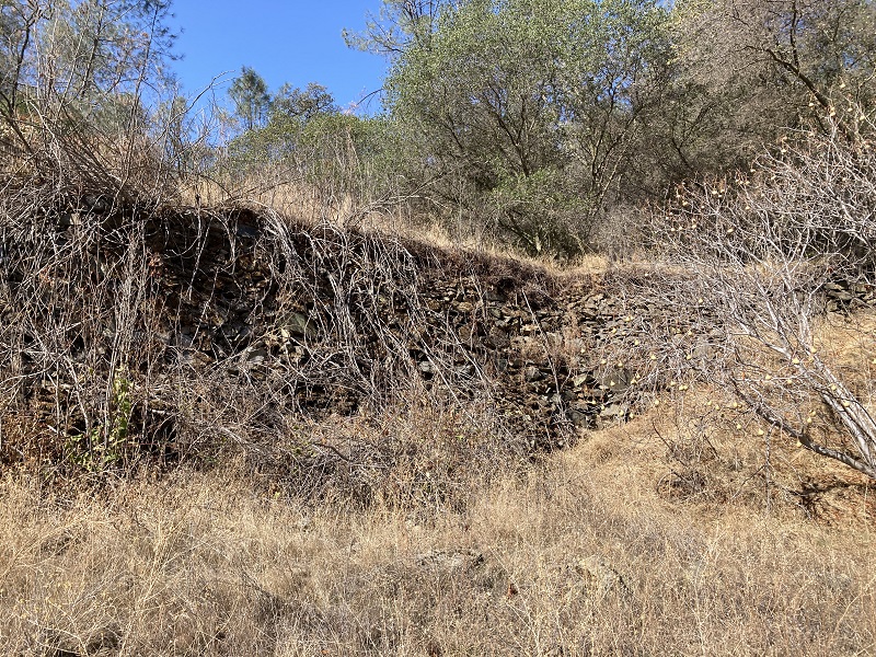
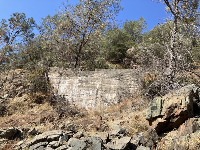
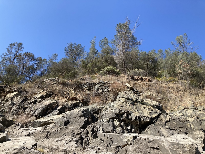
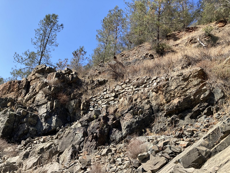
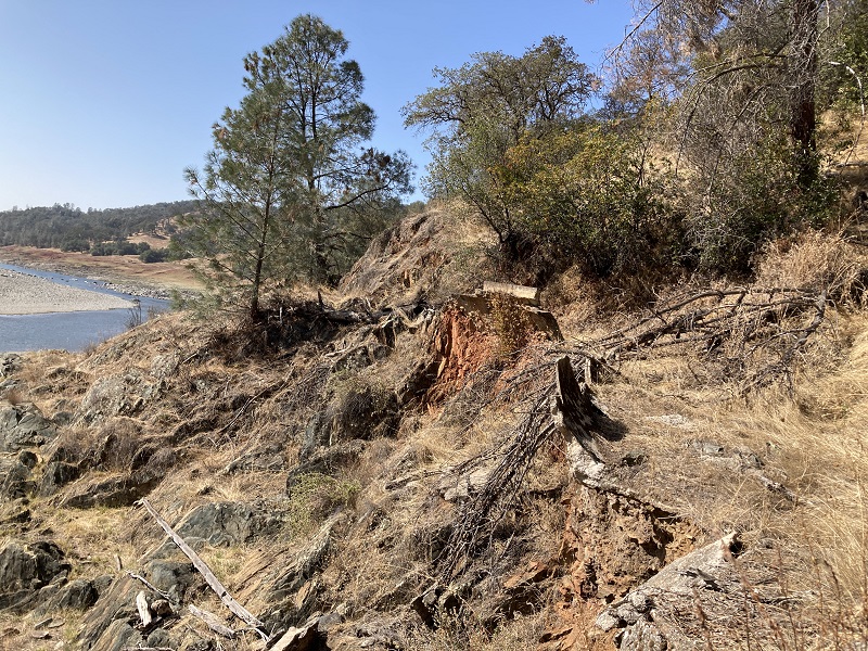
The clearest indication that I was near the tunnel location shown on the Army Corp of Engineers map was some larger than normal remnants of concrete and smaller than normal slate rock debris. The thick concrete remnant that had tumbled down from the hillside would have supported the transition from ditch to tunnel. The smaller slate rock debris could have been the waste rock from blasting out the tunnel. Testimony at the trial stated that the tunnel was blasted through a large slate rock outcropping. The wooden flume around the point was always failing because of rock slides from above falling into the flume.
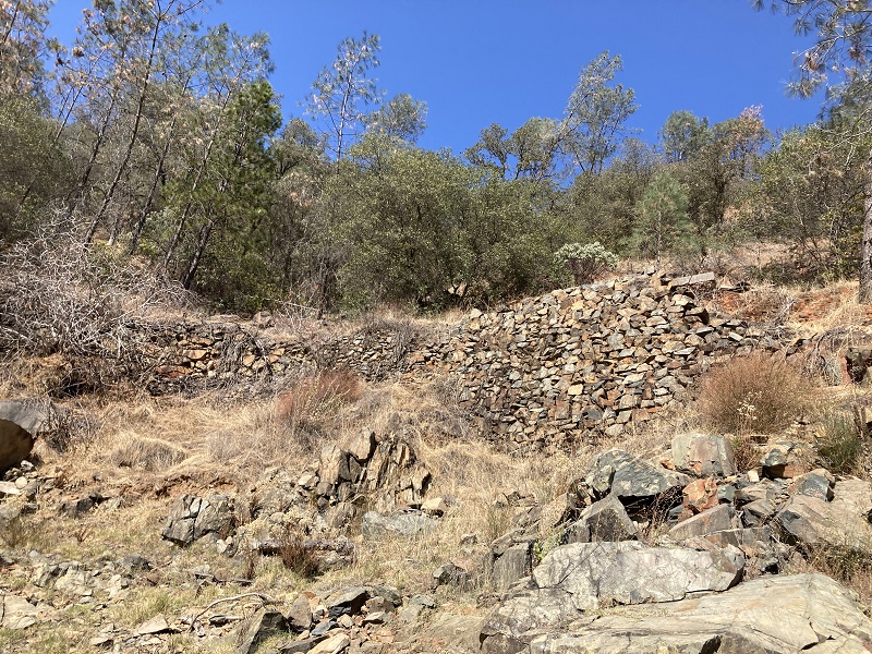
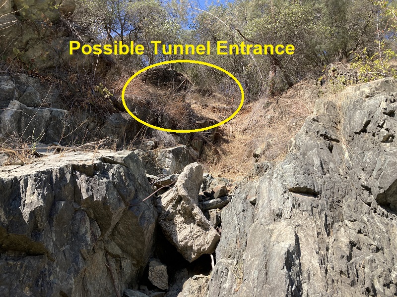
Unfortunately, because of the steep and loose hillside, I wasn’t able to reach to point where the ditch may have entered the assumed tunnel location. I was able to reach one spot where the concrete lining of the ditch was partially intact on the other side of the slate outcropping. There are parts of the concrete lined ditch that are still in reasonably good condition. From hiking along the river, below the ditch line, usually you can only see the hand-built rock support walls. Some of the rock retaining walls are 10 to 15 feet in height.
Maybe on the next hike I’ll have a partner that can help with reaching the possible tunnel site. The other tunnel is west of Rattlesnake Bar. I searched for the tunnel, found a location that matches with maps, but was stymied by debris and bushes from reaching the site. Nature is slowly erasing the North Fork Ditch.
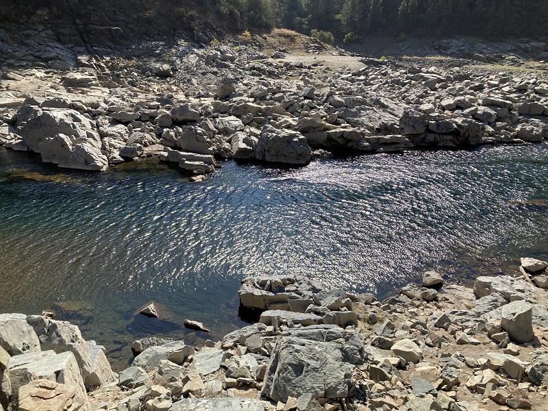
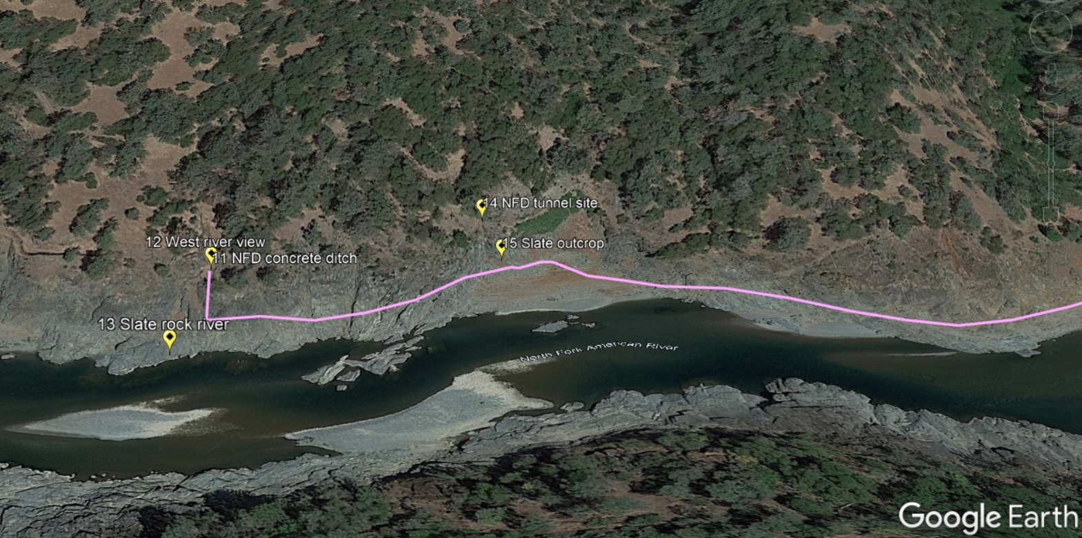
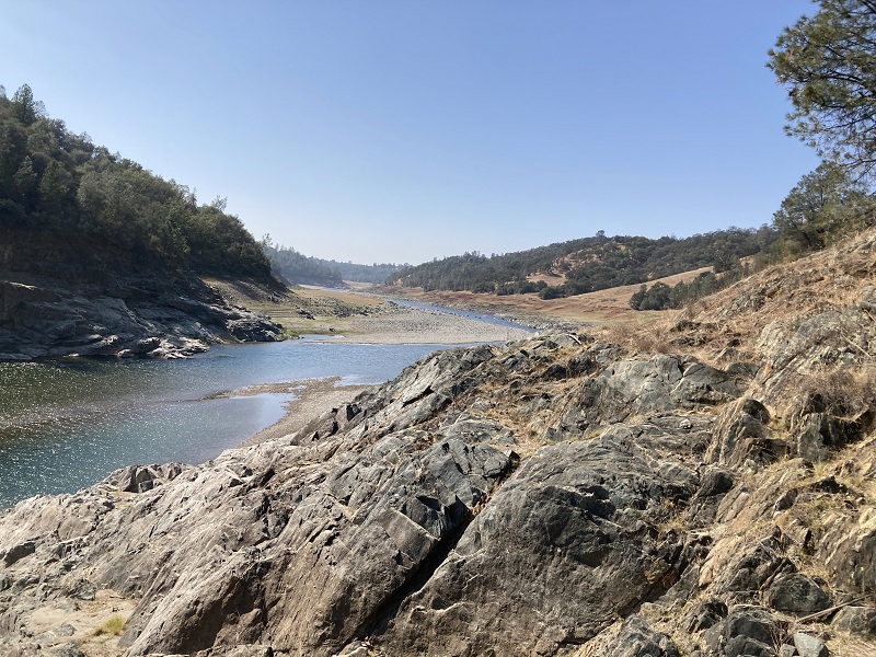
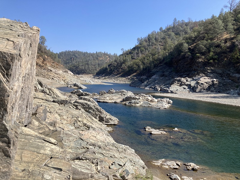
Photographs of North Fork Ditch Remnants and River Canyon
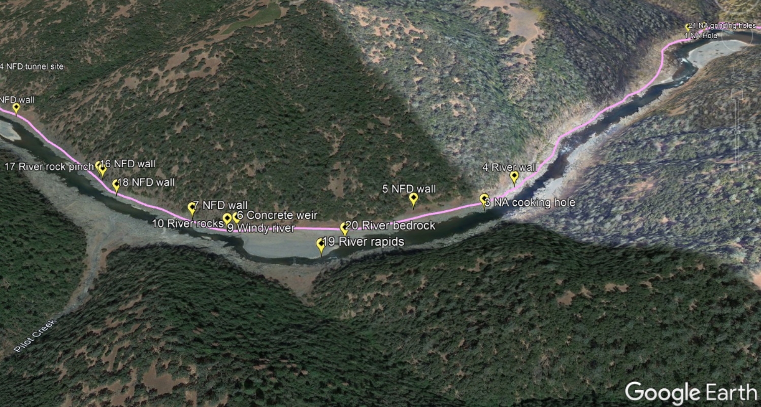
Below are photographs I took on the hike along the river below Oregon Bar. The Google maps are the locations of the images. The images, regardless of the number, are arranged as if you were walking down the river east to west.