The peninsula was once a major thoroughfare for gold prospectors and commerce from Sacramento to the mines on the western side of the north fork of the American River. Today, the chunk of land known as the Peninsula Campground is isolated and decidedly very quiet as travel to this state park is a circuitous drive because of the 1950’s construction of the Folsom Dam.
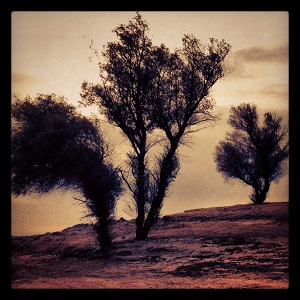
Confluence of north and south American
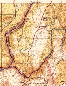
Before it was known as the peninsula, the land that slowly rises as Folsom Lake drops was called Mormon Island. After the gold rush era Mormon island settled into a more bucolic lifestyle of dairies. There were several roads in the area that provided the quickest route from the various mines in El Dorado County down to Folsom and Sacramento.
So close, so quiet, so far away


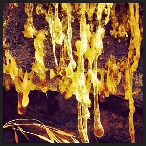
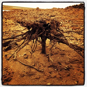
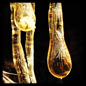
Amber drips from a fallen gray pine on the peninsula.
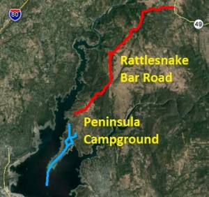
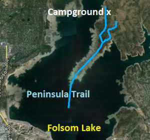
I see the peninsula grow every summer and fall on my bike rides around Granite Bay as the lake level drops. The oak savannah woodland, devoid of homes or cars is so close, yet literally so far away. The peninsula is actually the confluence of the north and south fork of the American Rivers. The drive to the Peninsula Campground and the hiking trails entail coming down Highway 49 in Auburn from the north or traveling up Salmon Falls Rd. in El Dorado Hills from the south. Either route will bring you to Rattlesnake Bar Road, which is still another 9 miles from the campground.
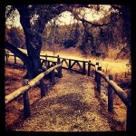
Great campground
The Peninsula campground is well planned out with over 100, mostly under used, campsites. The campsite itself is a victim of budget cutbacks which limits when the park is officially open and the inconvenience of reaching the peninsula. The combination of facilities and miles of trails, with relatively few visitors, make the peninsula a wonderful place for contemplative hikes.
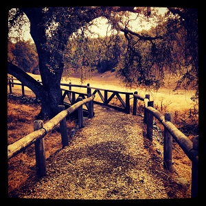
Oaks Nature Trail at the Peninsula campground.
No snakes seen or heard
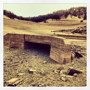
The primary trail is Rattlesnake Bar Road south of the campground which leads you from the the campsite to the tip of the peninsula. Rattlesnake Bar Rd., which is fairly weather beaten, was the primary road up to the Rattlesnake Bar bridge that led up to Auburn. There is also the Oaks nature trail around the north side of the campground and several other trails that crisscross the peninsula.
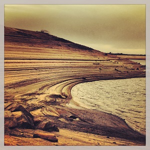
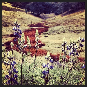
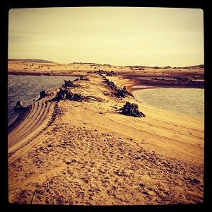
The peninsula grows with receding water
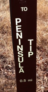
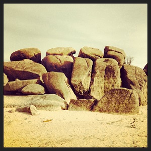
The goal on this hike was to get to the southern most tip of the peninsula. While the water level was still too high to see any real historic structures like bridge footings or home foundations, there was plenty dry lake bed landscape to capture my imagination. From the entrance station, which is closed from October to April, it is a good 2.5 miles to the tip of the peninsula. With the lake at low reservoir levels during the fall you can easily hike another mile down toward the dam.
Just a visitor, not the first
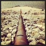
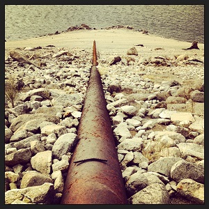
Water pipe and submersible pipe. Water for the campground?
In the 1850’s pioneer gold miners walked all over these little foothills that separate the south and north forks of the American River. Several other mining operations were founded in the area during and after the initial placer gold ran out. Now it is just a kick to hike around ground the Native Americans, miners and then farmers eventually called home until Folsom Dam pushed them all out forever.

Click to enlarge images.