Hikers are always being admonished, “Stay on the Trail!” But what if there is no trail? At the Table Mountain Preserve you get to blaze your own path across the volcanic cap of a mesa and not get in trouble. For us, the straightest line to Phantom Falls was hiking through the tall weeds and over volcanic flow where no path existed.
Table Mountain exploration
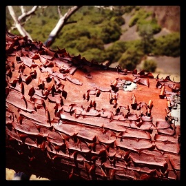
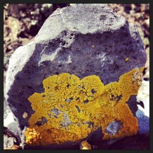
Except for the stickers and hiker’s rash I picked up from hiking through the fox tails, Table Mountain is a thoroughly enjoyable exploration of an ancient landscape. Rarely do we get to trod over land that we are fairly sure has not appreciably changed in the last 10,000 years. While trees and grasses have come and gone, these volcanic rocks with their high pitched clink when knocked together, have been sitting there waiting for me to walk by.
Blaze a trail with a map


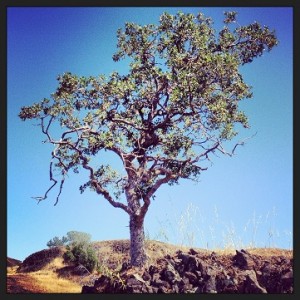
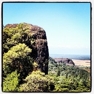
A little El Capitan or Half Dome at Table Mountain Preserve.
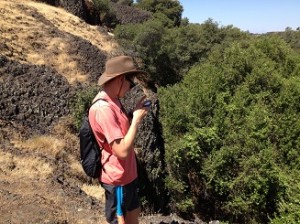
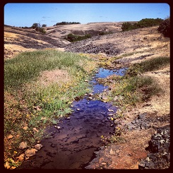
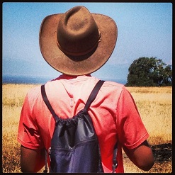
Fortunately, this was my son’s idea for a hike and he was prepared with a map on his phone. With no real hint of a path to the falls, we set a bearing and checked our course after we walked through each little depression until we arrived at Ravine Twin Falls. As I was exploring all the great photo opportunities, even on a dry late spring hike, my son found the trail down into the creek ravine. I would have totally missed it and kept walking west along the ridge top.
Descending into the ravine
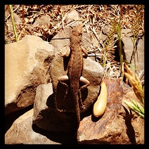
The Ravine Twin Falls creek ravine is filled with a variety of trees and grape vines. The trail is pretty loose. It must be spectacular when water is falling over the 100′ drop into the creek below. We only had a few drips from above but plenty of tree frogs hopping around. Oddly, there were two dead lizards within feet of one another. They had not been killed by an animal. It is almost as if they succumbed to a fungus or other pathogen.
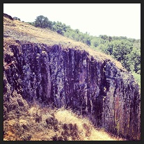
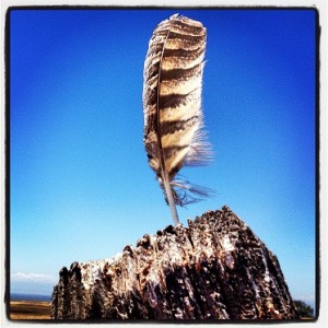
Who was the architect?

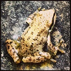
Tree frogs abound at the bottom of Ravine Twin Falls.
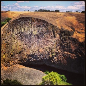
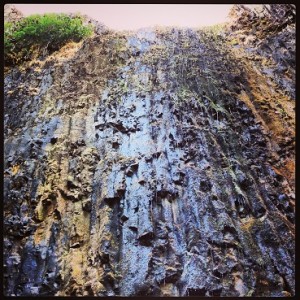
A Short hike out of the ravine brings you to Phantom Falls. The scalloped volcanic basalt flow almost looks as if it were designed by an architect. It is massive and towering. All the stickers lodged in my shoes were with it to see this natural wonder. Better planning would have us wearing the gators to keep out the stickers or hiking during the late winter or early spring before the grasses have gone to seed.
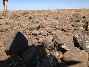
So much to see on a barren landscape
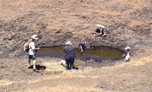
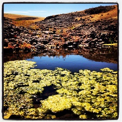
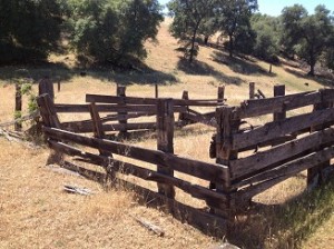
After we retraced our steps, we picked up the the well worn foot path on the south side of the table that travels west. We followed that into another dry ravine and ended up hiking all the way to the Western Pond reservoir. The trail can of fade in and out which meant we were still pushing through the weeds. But I could have spent all day exploring the different rocks, dry vernal pools, old corrals and creek beds.
A solid day hike in two directions
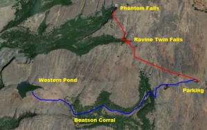
Our first hike is in red on the aerial view and took about two hours to complete. The blue line was the second hike down to Beatson Corral and Western Pond which was another two hour round trip. Combined, both hikes are approximately nine miles. They are moderate in difficulty excluding the loose rocks you occasionally stumble over.

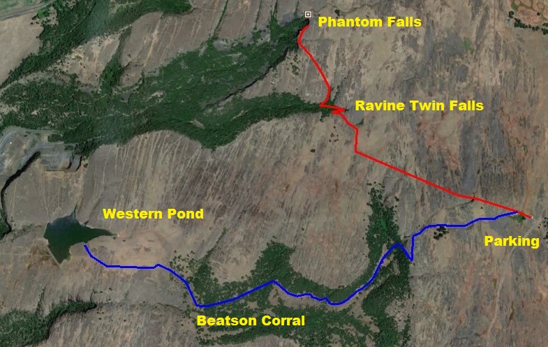
View of Table Mountain day hikes
Side trip to Thermalito
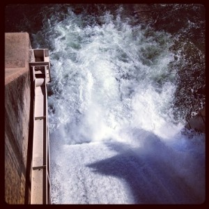
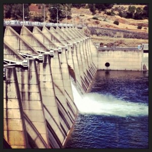
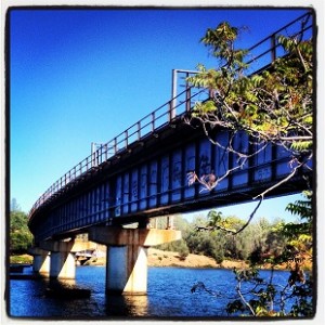
On the way up to Table Mountain I realized we drive right next to the Thermalito diversion dam and lake. This is worth the stop to
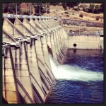
Thermalito diversion dam releasing water into Feather River.
catch a train traveling over the lake, watch water flowing through the canal or over the dam into the Feather River.
Will man made out last mother nature?
It is fun to juxtapose the longevity and natural beauty of Mother Nature on Table Mountain with the hubris of man at Thermalito or Oroville dam. For all the engineering wonders presented at Thermalito, Table Mountains water falls will outlast them by a couple of millennium I would guess.


Click on thumbnail to enlarge.