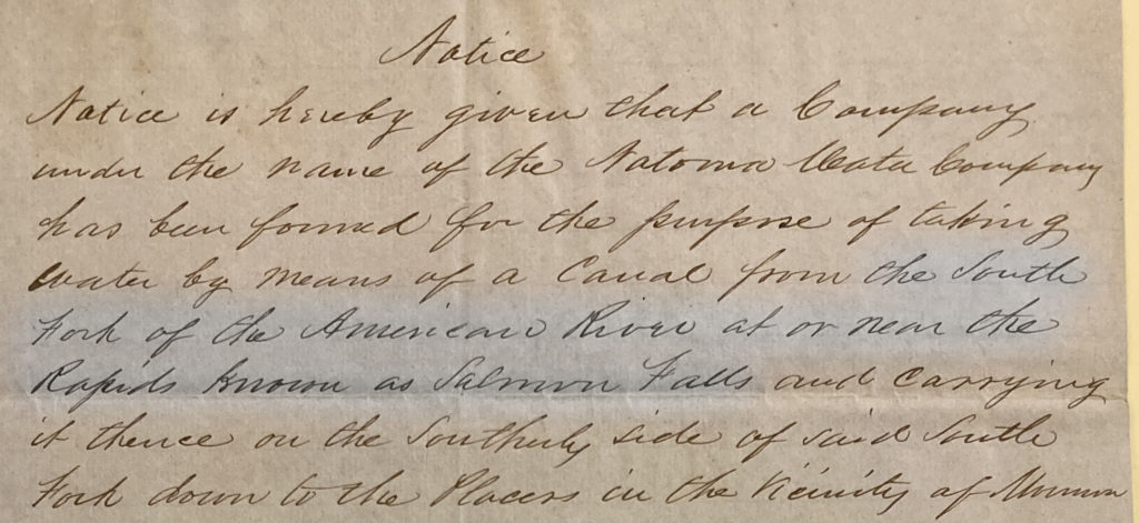
While researching the life of Amos Catlin, founder of the Natoma Water and Mining Company, I came across the 1851 notice stating the intent to construct the Natoma Ditch. What I found interesting is that the notice stated that the dam would be at Salmon Falls. The Natoma dam was not constructed at Salmon Falls, but at Rocky Bar two miles above the town of Salmon Falls. Why was the location changed when Salmon Falls was a good dam site?

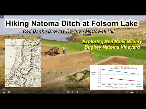
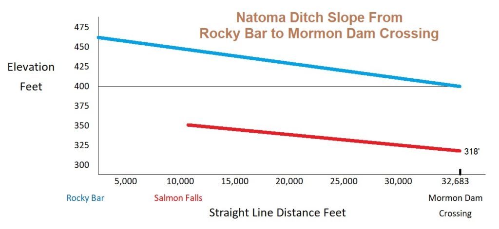
Natoma Dam Site Determined Elevation and Necessary Slope
The actual Salmon Falls was downstream from the town site of the same name. It provided a good location for a low-profile dam. The South Fork of the American River makes a horseshoe bend to flow around Higgins Point on the south side. On the north of the river was a steep and high canyon wall. The narrow width of the river meant a relatively small dam could be built and divert water into a canal or ditch.

If the Salmon Falls was originally intended as the dam site, it was quickly dismissed. The problem was the elevation. Water flow in the Natoma ditch would be powered by gravity. This meant a constant decrease in slope to keep the water flowing. The slope did not have to be very steep, just enough to keep the water flowing between two and three miles per hour. The slope needed was less than one percent.

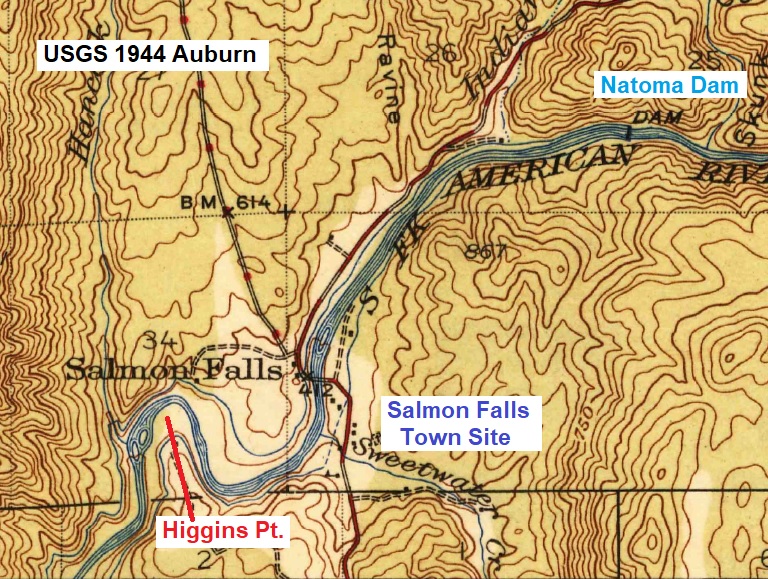
Salmon Falls had a base elevation of approximately 350 feet. The dam would be around 20 feet tall meaning the headwaters for the canal would be between 360 and 365 in elevation. With the necessary slope to keep the water flowing around the hill sides and flumes, the Natoma ditch would have an elevation of approximately 320 between Red Bank and Mormon Island.
Rocky Bar Dam Site Chosen Over Salmon Falls

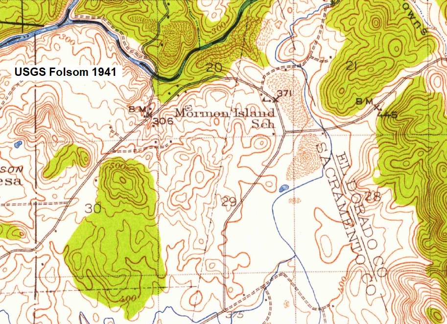
The Mormon Island wing dam of Folsom Lake is long earthen structure to span a saddle of topography. Between two small foothills the elevation of this saddle drops down to 366 feet of elevation. If the Natoma canal wanted to service mines to the south such as Negro Bar, Willow Springs, Alder Creek, Rhodes Diggins, and Prairie City, the ditch would have to exit the river canyon at this low spot. The alternative was expensive and difficult fluming through the American River canyon.

A dam site at Salmon Falls was too low in elevation to allow for the ditch to exit the river canyon between Red Bank and Mormon Island. Consequently, the dam site was moved to Rocky Bar which had an elevation of approximately 450 feet. With a small dam across the river, the headwaters for the canal would be elevated to 465 feet. The minimal slope of the ditch line would put the water canal at between 390 to 395 feet of elevation at the saddle.

Mormon Island Dam Tunnel
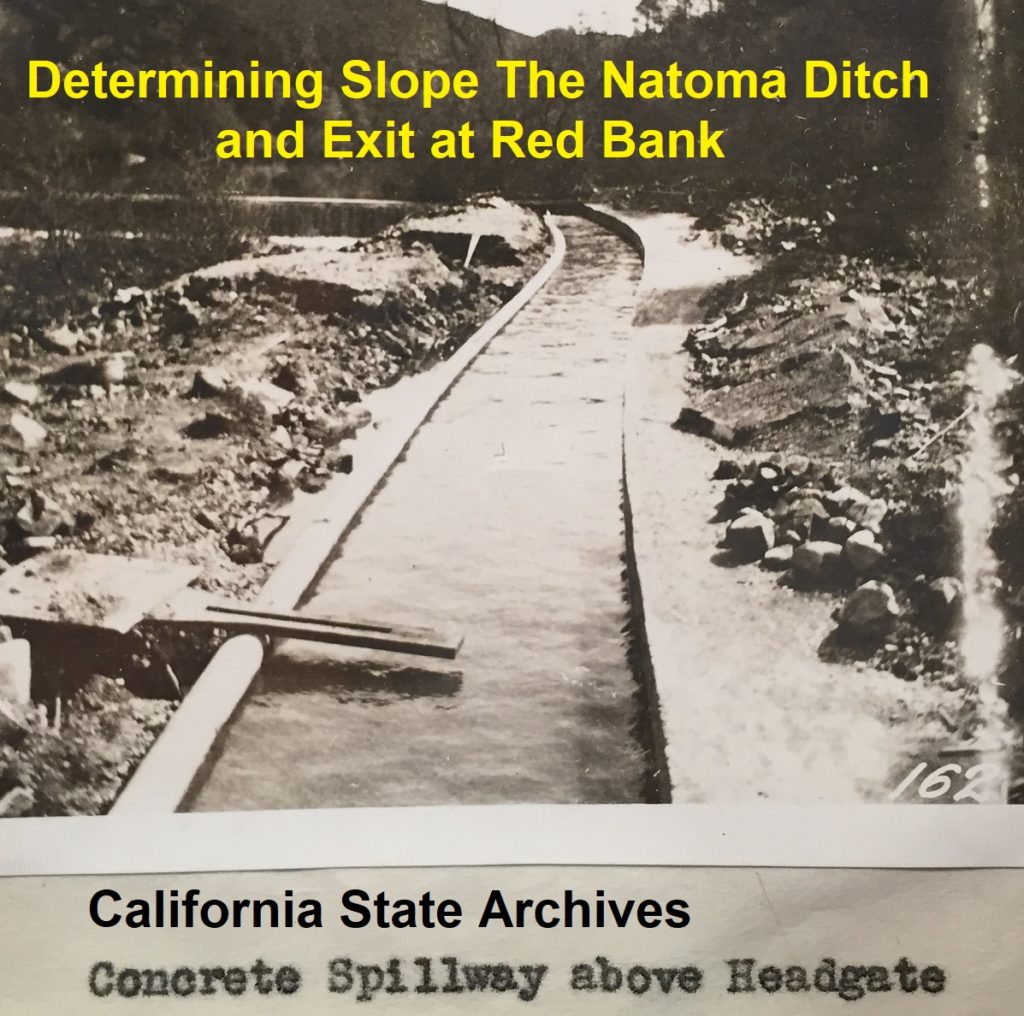
The downside to moving the dam site from Salmon Falls to Rocky Bar was a longer earthen ditch and flume – across Salmon Falls town – that exposed the aqueduct to the raging flood waters of the river. This part of the conveyance structure would provide little revenue in water sales and incur higher maintenance costs. However, if Amos Catlin’s Natoma ditch was to service mines, ranches, and farms south of the river, higher repair costs was part of the equation.

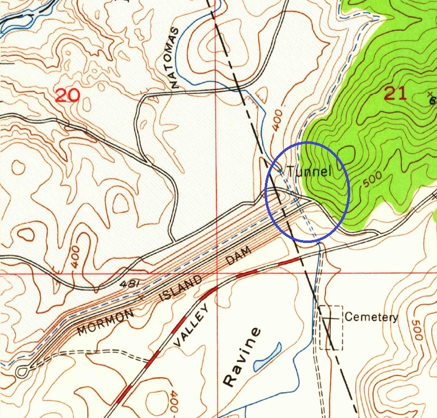
When the Mormon Island wing dam was being constructed, the Army Corp of Engineers rerouted the Natoma Canal. They drilled a hole through the eastern hill of dam site to allow the Natoma ditch water to keep flowing. It would be several years of construction on Folsom Dam and before water could be delivered to the City of Folsom from the new dam. Once the new dam connection was operational, they sealed up the tunnel and the Natoma Canal, after 100 years of operation, was abandon.