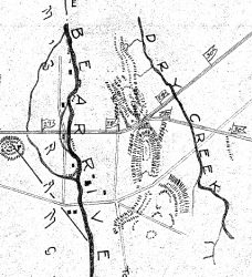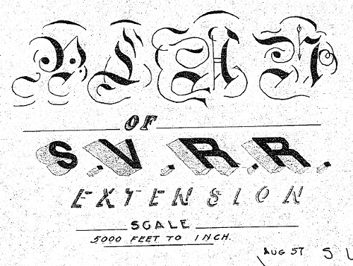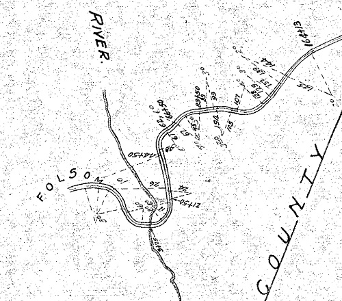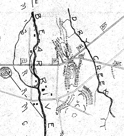
Before California Central Railroad was launch by Charles Lincoln Wilson, the Sacramento Valley Railroad submitted a map for a new line from Folsom to Marysville. The new line was to have a branch that traveled just north of the Bear River up to the Yuba River. The description of the map filed in September 1857 states –
We hereby certify this to be a true map of the located line of the Sacramento Valley Rail Road from Folsom to Marysville within the counties of Sacramento, Placer, Sutter and Yuba.
San Francisco Sep. 21st 1857
J.B. Broilatt [sp?] President
J P Robinson Chief Engineer
J Mora Moss [sp?] Tustee
Below are a couple image samples from the map. It is generally assumed that the California Central Railroad, formed in 1858, followed this mapped grade up to Lincoln, but it may have actually deviated from the drawing. (See: Folsom to Roseville: California Central Railroad). I would appreciate any assistance in identifying the script in the title of the map and the symbols in the legend.


