After my son took a geology course in his freshman year at Williams College, he wanted to see the volcano on Hawaii. So we planned a short little trip over the 2016 Christmas holiday. This was only my third trip to the island chain and I came away even more unimpressed about Hawaii than on previous trips.
Hiking Around
Posts related to different hikes I have taken primarily in California and around Folsom Lake region. Pictures and maps
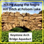
Hiking along the Negro Hill Ditch at Folsom Lake in El Dorado County
It can be a difficult task to locate the faint outlines of the Negro Hill Ditch which is usually under water at Folsom Lake. But when the lake is low enough it’s possible to find the old grade and structures associated with the historic water canal that ran from east of Salmon Falls down to Negro Hill and Massachusetts Flat. In the autumn of 2016 I was able to complete my goal of walking along most of the Negro Hill Ditch.
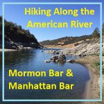
Hiking along the American River from Mormon to Manhattan Bar
With Folsom Lake water levels low in the autumn of 2016, I decided to hike from Rattlesnake Bar up the North Fork of the American River to see if I could catch glimpses of gold rush era history. The terrain was far more difficult than I imagine. While I know the river canyon has change since the gold rush of 1849, I was surprised at just how arduous the hiking along this stretch of the river must have been for the gold miners.
Pictures and history of Folsom Lake and American River during the drought
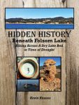
As the lake level drops, the history is revealed. As Folsom Lake hit record low water levels in 2015, a whole lot of history was revealed. A drought shrunken Folsom Lake of 2015 was the highlight for a guy like me who had been hiking around the reservoir for years looking for historical sites. After numerous hikes around the North and South Forks of the American River at Folsom Lake, I finally organized my photographs and historical research into a book, Hidden History Beneath Folsom Lake – Hiking Across a Dry Lake in Time of Drought.
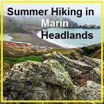
Summer Hiking in the Marin Headlands
When the summer heat hits in the Sacramento Valley, my fail-safe hiking destination is the Marin Headlands in the Golden Gate Recreational Area. Even after all the spring wildflowers have faded away, there is still plenty of natural beauty to see on the hiking trails above the Pacific Ocean.
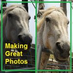
How I make great photos with my iPhone camera
When it comes to taking great photos with you mobile or iPhone, I’ve learned a few lessons of the years. I follow a few simple procedures when I’m taking photos. The fun part comes when I edit the photos to make the images stand out.
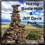
Hiking around Bodie Hills and Jeff Davis Peak
But few of the visitors to Bodie State Park to hike around the Bodie Hills. Directly south of the old mining town on Cottonwood Canyon Road are some nice gentle hiking trails. The best part of the hike is the tremendous views you’ll get of the town of Bodie to the north and Mono Lake to the south. It is speculated that the unique Jeff Davis peak was the plug of an ancient volcano. The sides of the former volcano have eroded away leaving a solid vertical piece of rock.
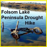
Folsom Lake Peninsula drought hike
I started hiking from the Folsom Lake Peninsula campground down to the tip of this stretch of land. Usually underwater, the drought of 2015 had drained the lake down to 15% of capacity. This exposed lake bed that is rarely visited during normal lake levels. Like many people I tripped across sunken boats, abandon gold mines and a surprising number of dams.
Historic Rose and Rock Springs of Granite Bay
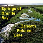
I had always noticed Rose Springs and Rock Springs marked on maps that encompassed the south Placer county region we know today as Granite Bay. It wasn’t until Folsom Lake hit historically low water levels that what I think are Rose and Rock springs became apparent to me.
Hiking around Goose Flats to Zantgraf Mine
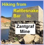
With the North Fork of the American River actually flowing around Rattlesnake Bar since the stationary waters of Folsom Lake didn’t occur until around the bend at Horseshoe Bar, I figured I might be able walk across the river to explore Goose Flats and the old mining operations. I thought if the miners of the 1850’s could ford the river so could I. Much of the bottom and banks of the river are choked with mud, muck and sediment as the lake elevation can be eighty feet above the river bed at Rattlesnake Bar.