Hiking down the peninsula of Folsom Lake during drought and finding historic relics of the past.
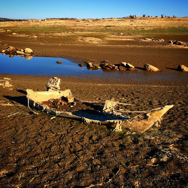
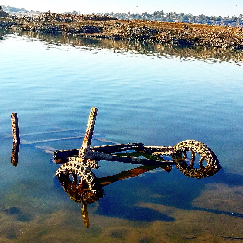
It was an autumn afternoon when I started hiking from the Folsom Lake Peninsula campground down to the tip of this stretch of land. Usually underwater, the drought of 2015 had drained the lake down to 15% of capacity. This exposed lake bed that is rarely visited during normal lake levels. Like many people, I tripped across sunken boats, abandon gold mines and a surprising number of dams. Video and photo gallery at end of post.
Hiking down Folsom Lake Peninsula during historic drought
The Folsom Lake Peninsula is the portion of land between that what was originally separated the North and South Fork of the American Rivers. When Folsom Dam was built the lake created a peninsula of higher elevation land. The Peninsula Campground is not the easiest place to drive to even though it is directly across from Granite Beach and Brown’s Ravine in the Folsom State Recreation Area. The campground where you park is an eight mile windy narrow road drive from Highway 49. Even when the campground is full in the summer, there are miles of trails to hike and you will hardly ever see any one.
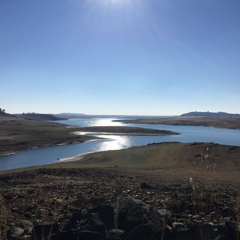
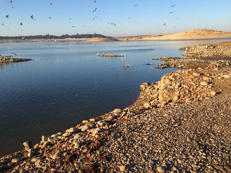
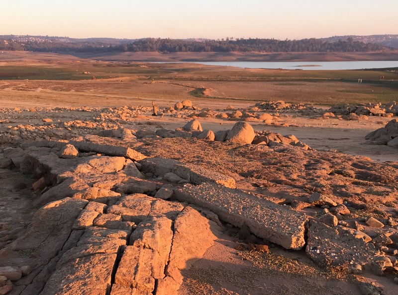
350 foot elevation lake level
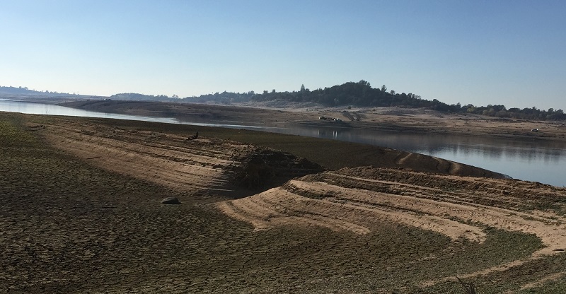
My hike started just south of the north boat ramp at the Peninsula campground. The lake level was at approximately 351 foot elevation. The spillway elevation is 466 feet and the river bed was originally 250 feet in elevation. Most of the historical landscape I was able to see was still a distance from the original river bed and located on bluffs or higher elevation above the rivers. Of course, it’s usually on flat ground that you build structures such as buildings and dams.
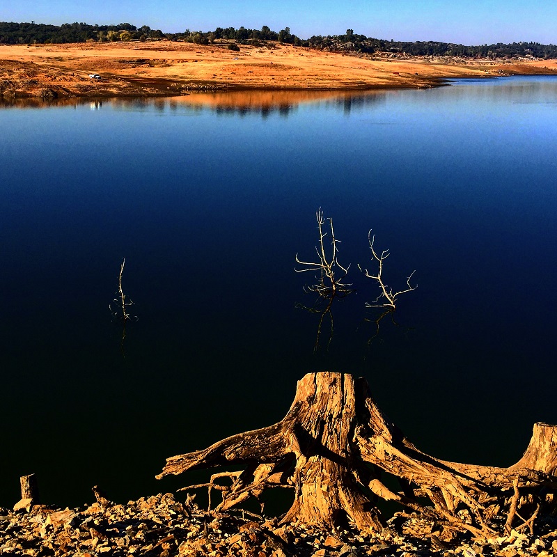
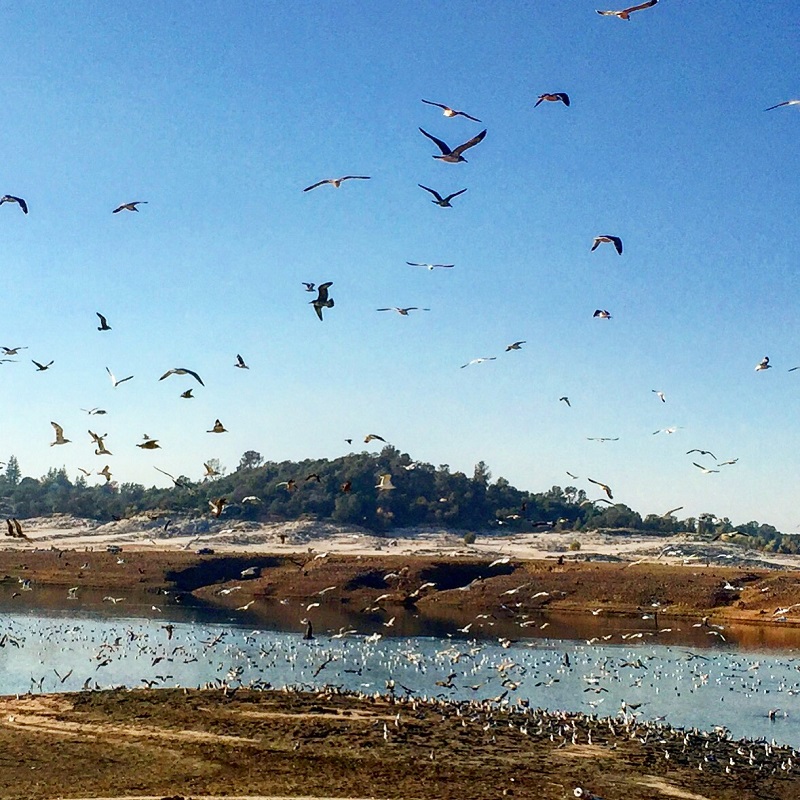
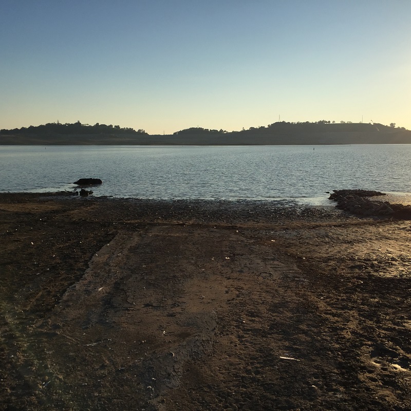
Folsom Lake at 15% of capacity
Whenever I hike around this area I always think back to the memoir of an 1849 gold rush miners to recounted burying a fellow Argonaut about the river. What is most apparent as the lake level drops to historic lows was the amount of industrial placer mining that took place on the along the North and South Forks of the American Rivers. If there ever was a grave site for George Reppert who died in 1849 it probably was torn apart as large machines in the 20th century chewed up the earth looking for gold.
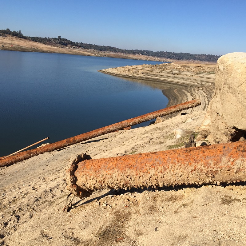
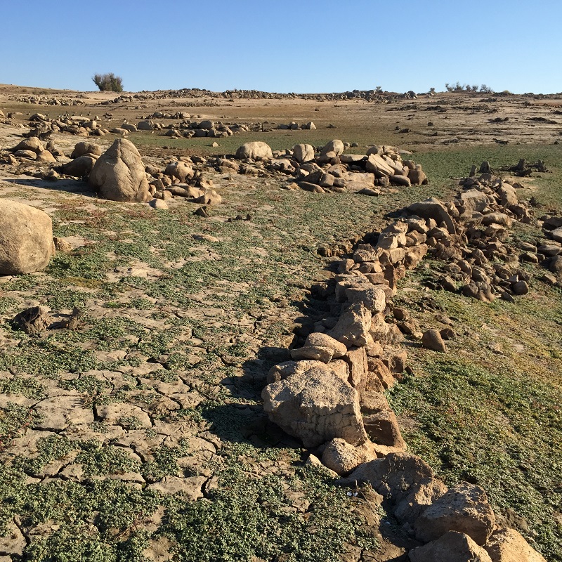
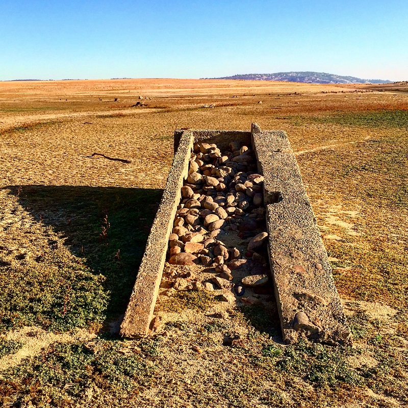
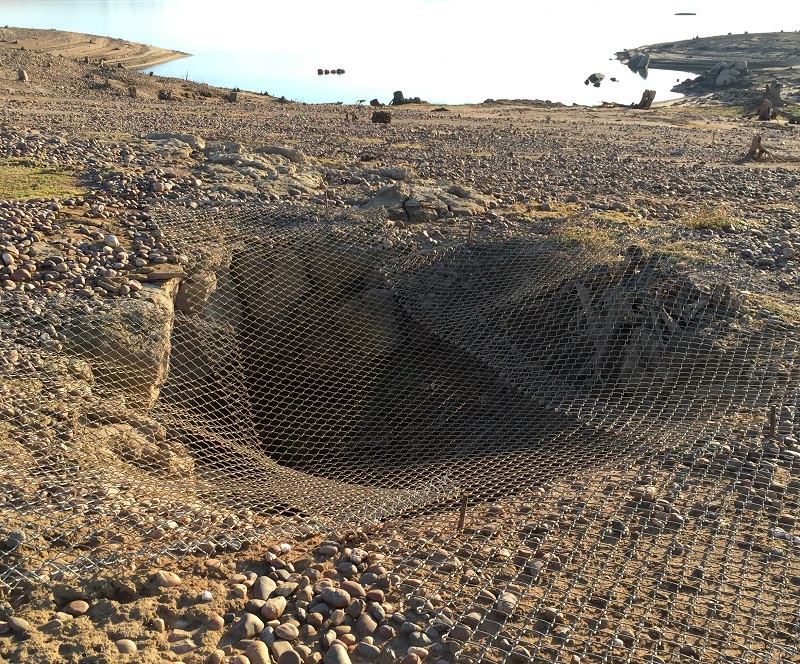
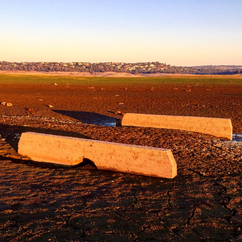
Numerous small earthen dams exposed
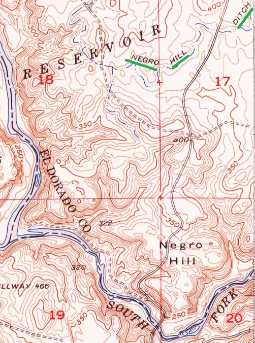
The unprecedented low lake levels revealed numerous dams along creeks and seasonal streams. Some of these earthen dams were situated below the Negro Hill Ditch received South Fork American River from a dam a couple miles above the town of Salmon Falls. I suspect the dams were used not only for gold mining but as a source of water for the miners and cattle in the area. I counted five of these little dams along my hike.
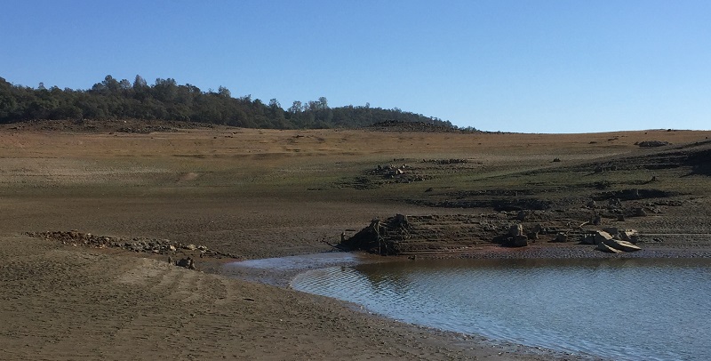
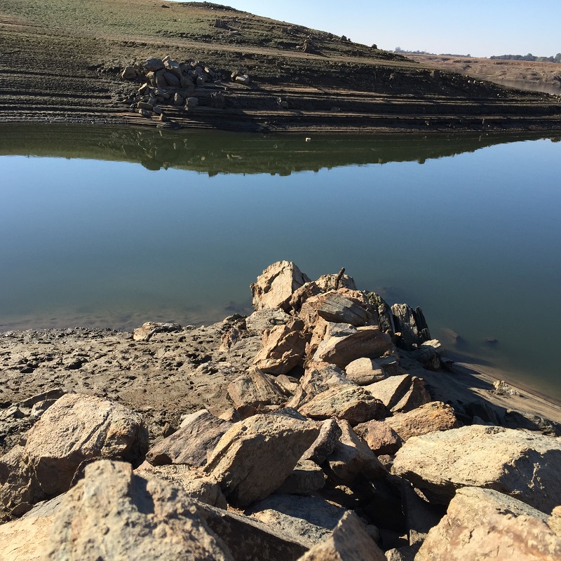
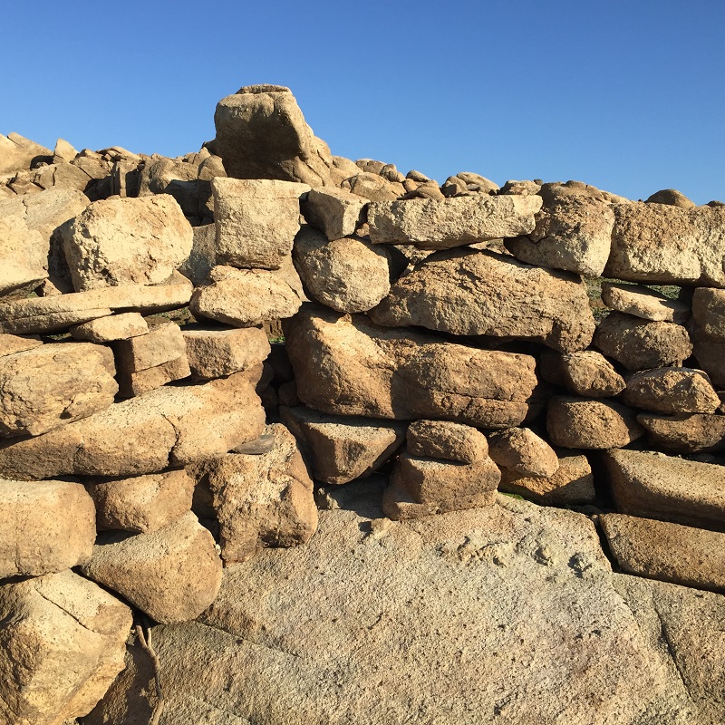
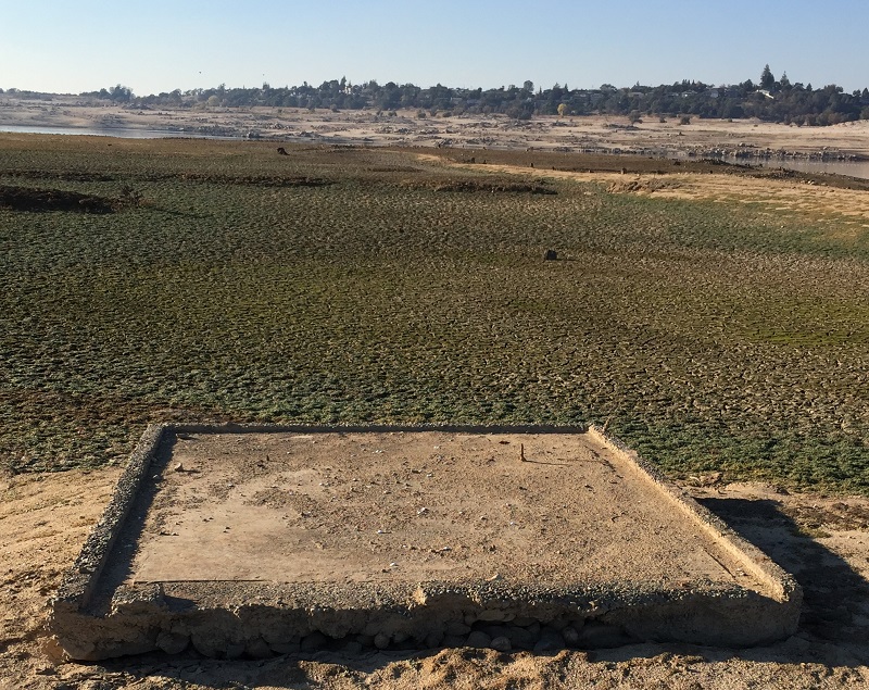
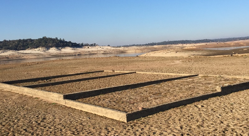
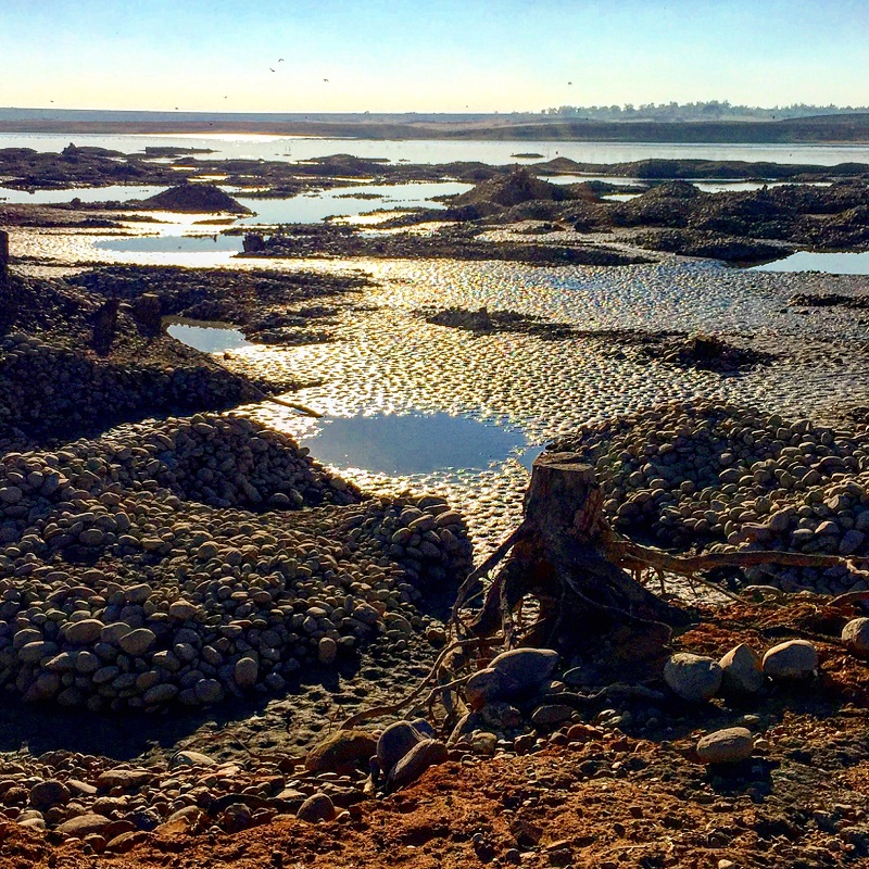
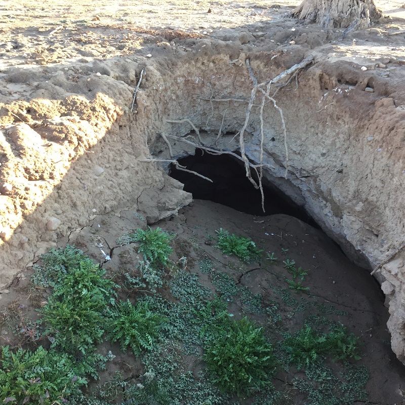
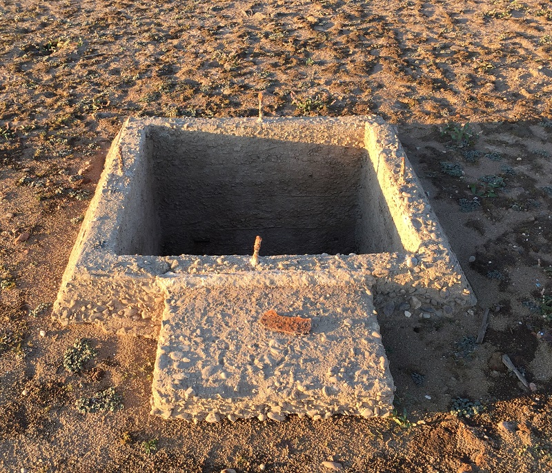
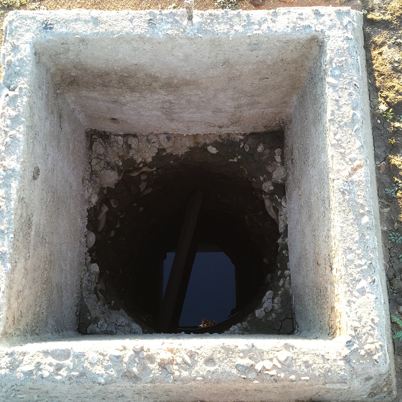
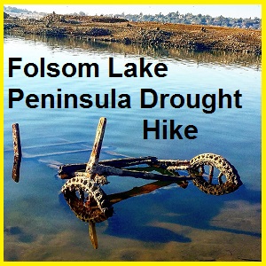
Placer gold mining tailings and mine shafts
Most of the remnants of gold mining operations were along Massachusetts Flat south east of Mooney Ridge on the North Fork of the American River. There are a several concrete foundations, rock hopper-type structure, tailings rising out of the river, and an abandon rock cart or wagon. Further down the peninsula I came across an old gold mine entrance and exit shafts that a family of burrowing owls has started using as their home.
Peninsula road was gateway to gold fields
Actually getting to the tip of the peninsula was anti-climactic. Even with record low lake levels I was still a mile from Folsom Dam. It was apparent that most of the landscape, usually underwater, had been extensively mined. I walked over to the peninsula road and followed it to the water edge. This road wound down to a bridge that crossed the South Fork of the American River over to Mormon Island. This was a major crossing point from miners traveling from Folsom up into El Dorado County to the gold fields of the North and Middle Fork of the American Rivers.
History exposed by drought at Folsom Lake
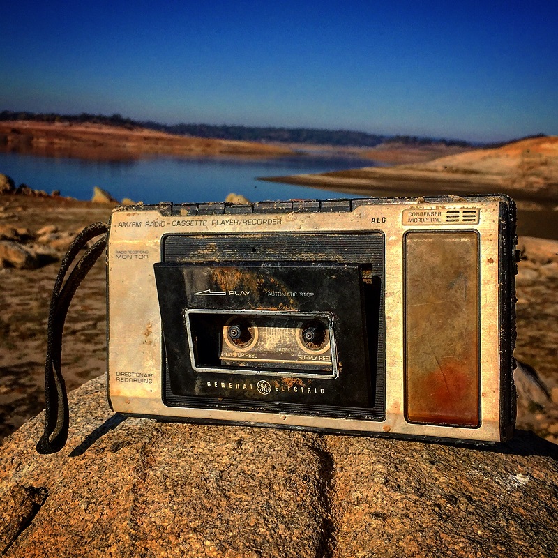
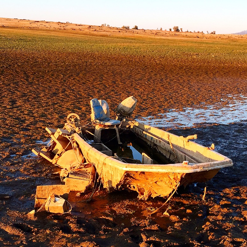
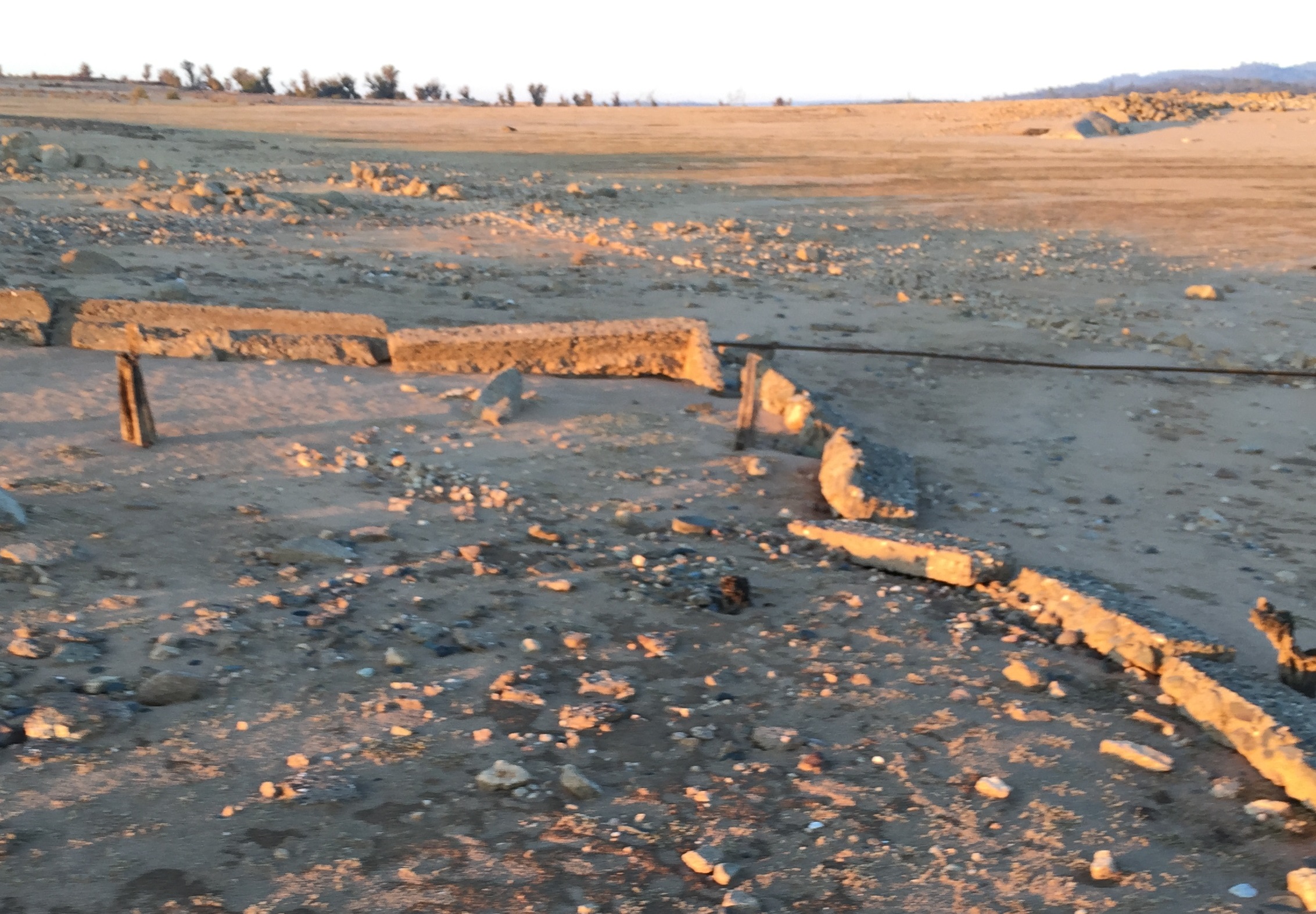
The peninsula road is still visible and makes for and easy hike back to the campground. There was a little bridge over a creek or water ditch that was exposed along with a sunken bass boat. Near what was known as the Negro Hill Ditch were other concrete outlines of buildings. It must have been a beautiful view with the gently sloping landscape down toward the South Fork of the American River. As the sun quickly sank I watched as the drought shrunken Folsom Lake reflected the colors of dusk from the evening sky.
Peninsula recording November 14, 2015
The photo gallery is pretty close to the order of locations as I hiked down the peninsula.