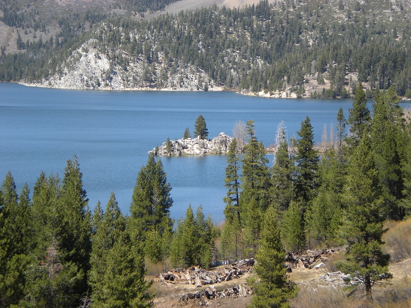
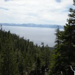
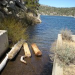
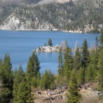
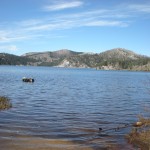
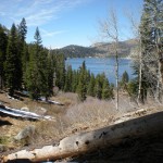
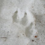
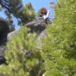
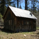
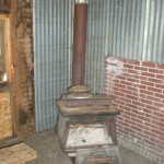
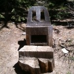
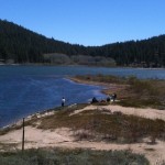
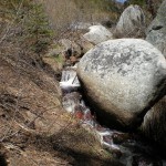
A beautiful Mother’s Day compelled us to hike from Spooner Lake up to Marlette Lake. While the hike is considered moderate, you will climb from an elevation of 7060′ at Spooner Lake upto 8200′ just south of Marlette Lake. While there are only a couple of steep switch backs the 4.5 mile trail has a steady and contiunou increase in elevation.
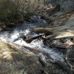
It is a typical high Sierra hike with plenty of trees and meadows. There are benchs along the way to rest. Once at Marlette Lake, we continued the extra mile around the lake to check out the dam and part of the flume trail. The hike up to Marlette, along with the flume trail, is great for mountain bikers as well.
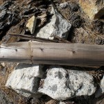
Completed in 1875, Marlette Lake, as far as I can determine, was created as a water source for the log mill at Hobart Mills and Virginia city. The flume trail is the excavated line that actually supported the water flume to Hobart Reservoir. Because the flume actually travels through a mountain, approximately 3,000′ in length, I don’t think it ever carried any logs similar to other flumes in the area.
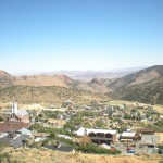
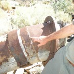
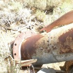
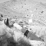
The water from Marlette was then channeled into a first of its kind inverted siphon across the Washoe Valley to supply water to Virgina City. Mr. H. Schussler, an engineer from San Franciso, was hired by the Spring Valley Water-Works to design the inverted siphon. The lenght of the pipe was over 7 miles long and spanned and elevation change of 1420′. The completed 12″ diameter pipe capable of supplying 2,200,000 gallons of water per day, offered Virgina City a stable water supply source. Information from The Big Bonanza by Dan De Quille (William Wright), first published 1876.
From our visit to Marlette, we learn that the lake had been raised by 15 feet in the 1957. Overall, if you like history or a nice Sierra hike, the trek upto Marlette is worth it. Our round trip, including a little break for lunch was approximately 6 hours at a moderate pace. We took the hiking trail up and the access road down. There are just some beautiful views in a very quiet setting.
