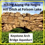
It can be a difficult task to locate the faint outlines of the Negro Hill Ditch which is usually under water at Folsom Lake. But when the lake is low enough it’s possible to find the old grade and structures associated with the historic water canal that ran from east of Salmon Falls down to Negro Hill and Massachusetts Flat. In the autumn of 2016 I was able to complete my goal of walking along most of the Negro Hill Ditch.
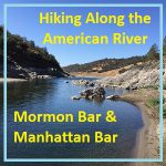
Hiking along the American River from Mormon to Manhattan Bar
With Folsom Lake water levels low in the autumn of 2016, I decided to hike from Rattlesnake Bar up the North Fork of the American River to see if I could catch glimpses of gold rush era history. The terrain was far more difficult than I imagine. While I know the river canyon has change since the gold rush of 1849, I was surprised at just how arduous the hiking along this stretch of the river must have been for the gold miners.
Pictures and history of Folsom Lake and American River during the drought
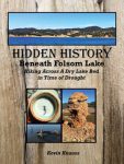
As the lake level drops, the history is revealed. As Folsom Lake hit record low water levels in 2015, a whole lot of history was revealed. A drought shrunken Folsom Lake of 2015 was the highlight for a guy like me who had been hiking around the reservoir for years looking for historical sites. After numerous hikes around the North and South Forks of the American River at Folsom Lake, I finally organized my photographs and historical research into a book, Hidden History Beneath Folsom Lake – Hiking Across a Dry Lake in Time of Drought.
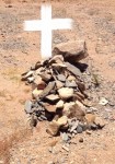
Searching for George Reppert’s grave site at Folsom Lake
From the shoreline of Granite Bay Beach Park at Folsom Lake you can probably see where Mr. Reppert was buried in 1849 in an unmarked grave far away from home and family. The death and burial of this gold rush miner comes to us from a fellow traveler and miner who wrote about his experiences in the […]