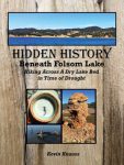
As the lake level drops, the history is revealed. As Folsom Lake hit record low water levels in 2015, a whole lot of history was revealed. A drought shrunken Folsom Lake of 2015 was the highlight for a guy like me who had been hiking around the reservoir for years looking for historical sites. After numerous hikes around the North and South Forks of the American River at Folsom Lake, I finally organized my photographs and historical research into a book, Hidden History Beneath Folsom Lake – Hiking Across a Dry Lake in Time of Drought.
History From Kevin Knauss
Posts related to historical topics such the Gold Rush, early California, Maps, and historical documents.
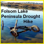
Folsom Lake Peninsula drought hike
I started hiking from the Folsom Lake Peninsula campground down to the tip of this stretch of land. Usually underwater, the drought of 2015 had drained the lake down to 15% of capacity. This exposed lake bed that is rarely visited during normal lake levels. Like many people I tripped across sunken boats, abandon gold mines and a surprising number of dams.
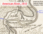
1910 map of water canals in Sacramento and Placer counties
For history buffs there is nothing closer to heaven than examining an old map. I share that fascination and also enjoy sharing old maps that I’ve found. Recently I uploaded a map published in 1910 by the American River & Natomas Water & Mining Company illustrating their network of canals. The map is generally topographically accurate and includes some place names not found on previous or later topographical maps.
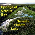
Historic Rose and Rock Springs of Granite Bay
I had always noticed Rose Springs and Rock Springs marked on maps that encompassed the south Placer county region we know today as Granite Bay. It wasn’t until Folsom Lake hit historically low water levels that what I think are Rose and Rock springs became apparent to me.
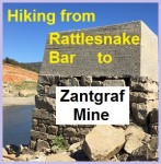
Hiking around Goose Flats to Zantgraf Mine
With the North Fork of the American River actually flowing around Rattlesnake Bar since the stationary waters of Folsom Lake didn’t occur until around the bend at Horseshoe Bar, I figured I might be able walk across the river to explore Goose Flats and the old mining operations. I thought if the miners of the 1850’s could ford the river so could I. Much of the bottom and banks of the river are choked with mud, muck and sediment as the lake elevation can be eighty feet above the river bed at Rattlesnake Bar.
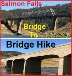
American River Salmon Falls bridge to bridge hike
A 2015 drought depleted Folsom Lake has allowed a rare opportunity to hike from the current Salmon Falls bridge over the South Fork of the American River all the way down to the old bridge which is usually covered by Folsom Lake. What makes this hike so special is that the South Fork of the American is flowing free like a river should.
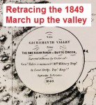
1849 Sacramento Valley map and Camp Far West Reconnaissance
In 1849 U. S. Army Lieutenant George H. Derby performed topographical survey of the Sacramento Valley. The “Topographical Memoir Accompanying Maps of the Sacramento Valley, &c.” was found in Quarterly of the California Historical Society Vol. XI No. 2 publication dated June 1932. I found the small quarterly report in a book store in San Francisco and was attracted to it because of the inset map of the Sacramento Valley. The map is a reproduction of Lieutenant Derby’s topographical map he made for his report.
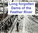
Historic photos of Feather River’s Golden Gate dam and flume
These photos along with a short review of the project and photographer originally appeared in the 1964 issue of Diggin’s from the Butte County Historical Society, Voume 8, No. 1, Spring Edition. You can download the light edited submission by Chico State Professor of History Dr. Clarence F. McIntosh. I republish this material courtesy of […]
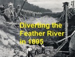
1895 Feather River diversion for gold mining
So much good history is underwater. Our 20th century dam building covered in water many interesting historic artifacts such as the remnants of a 19th century dam and diversion canal on the Feather River. A small paperback titled “Lost Beneath The Feather River” and a brief story published in Harper’s Weekly clued me into this […]
Middle Fork Trail Hike and Oxbow Powerhouse
The North Fork of The Middle Fork trail is a short little hike right off Mosquito Ridge Road. It is so named because it parallels the North Fork of the Middle Fork of the American River. Because the Placer County Water Agency maintains a dam up-stream this part of the river should have flowing water virtually […]