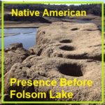
There is no record of when the last Native American camp ceased to exist in the Folsom Lake region. Many historians note that by 1853, most of the Native American population had dispersed, move south, died in conflicts with immigrant settlers, or died of disease. But there is no doubt that there was a thriving Native American population and culture along the north and south forks of the American River. Where Native Americans once ground acorns, skinned deer, or fashioned tools from local rocks, Folsom Lake visitors now fish, hike, ride horses, bikes, and have picnics.
Granite Bay
Posts specifically related to the Granite Bay area of south Placer County, history, development, water, trails, Folsom Lake, mountain biking.
San Juan Water District Granite Bay Rate Increases Reflect Real Costs Of Business
For years I have been at odds over how the San Juan Water District (SJWD) set their daily and metered rates for water in the Granite Bay area. Finally, SJWD is proposing a five-year rate structure that addresses the long term capital improvement needs of the district. The unfortunate 8% and 9% increase in the rates is a reflection of past Board decisions not to implement a stable rate structure for future maintenance, operations, and system upgrades.
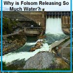
Why is Folsom Dam Releasing So Much Water? Flood Protection
Invariably, whenever the Bureau of Reclamation releases water stored behind Folsom Dam during the winter before the reservoir is full, people across the region accuse the Bureau of mismanagement, incompetence, and wasting water. The management of Folsom reservoir is complicated. But during the winter months, the main priority of Folsom Dam is flood control. That is why the dam was built in the first place.
Granite Bay should become a cycling friendly destination
For years, the rolling pastoral roads through Granite Bay have been a destination for road cyclists. It is not uncommon to see 5 to 10 bikes riding the narrow country roads through Granite Bay. But as cycling grows in popularity, Granite Bay should embrace its identity as a cycling destination by creating wider road shoulders for safer cycling travel.
Pictures and history of Folsom Lake and American River during the drought
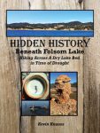
As the lake level drops, the history is revealed. As Folsom Lake hit record low water levels in 2015, a whole lot of history was revealed. A drought shrunken Folsom Lake of 2015 was the highlight for a guy like me who had been hiking around the reservoir for years looking for historical sites. After numerous hikes around the North and South Forks of the American River at Folsom Lake, I finally organized my photographs and historical research into a book, Hidden History Beneath Folsom Lake – Hiking Across a Dry Lake in Time of Drought.
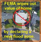
FEMA wiped out my home value with new flood maps in Granite Bay
The Federal Emergency Management Agency (FEMA) in cooperation with Placer County have released new flood hazard maps and my house is right in the middle of the floodway. According to the preliminary maps, my house never should have been built and I will be required to secure flood insurance if the preliminary flood maps are approved and become effective in June 2017. The new flood maps put the kiss of death on my ability to ever sell my house, my investment, my future. Thank you FEMA and Placer County.
A dry Folsom Lake didn’t trigger any sacrifice or water crisis
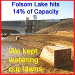
As winter rain finally begins to fill Folsom reservoir from its historically low water level brought on by a prolonged drought, local residents will probably be just as quick to flush away their water conservation habits. The water conservation practices that Northern California residents temporarily adopted because of statewide drought reduction targets resulted in minimal disruption and sacrifice to our lives. That so many households easily reduced their water consumption by 25% to 50% over 2013 levels illustrates that suburban household’s waste more water than we thought. Even with Folsom Lake approaching near dead pool level in 2015, we were never pushed to conserve more water and there was never sense of urgency.
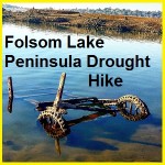
Folsom Lake Peninsula drought hike
I started hiking from the Folsom Lake Peninsula campground down to the tip of this stretch of land. Usually underwater, the drought of 2015 had drained the lake down to 15% of capacity. This exposed lake bed that is rarely visited during normal lake levels. Like many people I tripped across sunken boats, abandon gold mines and a surprising number of dams.
1910 map of water canals in Sacramento and Placer counties
For history buffs there is nothing closer to heaven than examining an old map. I share that fascination and also enjoy sharing old maps that I’ve found. Recently I uploaded a map published in 1910 by the American River & Natomas Water & Mining Company illustrating their network of canals. The map is generally topographically accurate and includes some place names not found on previous or later topographical maps.
Historic Rose and Rock Springs of Granite Bay
I had always noticed Rose Springs and Rock Springs marked on maps that encompassed the south Placer county region we know today as Granite Bay. It wasn’t until Folsom Lake hit historically low water levels that what I think are Rose and Rock springs became apparent to me.