Jacky encounters two giants on the island, Mr. and Mrs. Huggermugger. There is also a small community of dwarves, larger than Jacky, but smaller than the Huggermuggers. Jacky and his stranded shipmates are rescued and then tell their fantastical tale of giants and dwarves to others. One of men who believed Jacky is Zebedee Nabbum, who is out collecting wild animals to be exhibited in the circus of P. T. Barnum.
History From Kevin Knauss
Posts related to historical topics such the Gold Rush, early California, Maps, and historical documents.
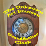
Unknown Art Nouveau Grandfather Clock
On the front of the well, near the bottom, are tree horizontal undulating lines. This, I assume, is to convey an aspect of water. Three lines, perpendicular to the water lines rise up and become the stems of vines and flowers in a rectangular tablet. The floral design on the well echoes the flowers on the top of the dial door. To me, the most recognizable flower seems to be a dogwood bloom.
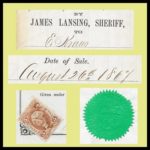
Early Sacramento Sheriff Sale Documents of James Lansing from 1860s
My name is James Lansing. I am 56 years of age. I know l am going to die, and make this statement under the impending crisis of the immediate presence of my demise. I do not know the man who shot me. I may have seen him, but if I did, I do not know it. I had no difficulty with him. I was out in the back yard of my hotel helping fix up a car load of coal about 4 p. m. I saw a man running down the alley and heard people halloo after him.
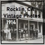
Historic Photos of Rocklin, California, 1914
We do know that Myrtle died on October 24, 1966 and is buried next to her husband Carl Reitenour in the Rocklin cemetery. Of course, none of this answers the question of who took the photos: Myrtle, her father, her brother, or, perhaps, her husband Carl J. Reitenour? But someone close to Myrtle lived very near the spot where the 1914 occurred. Hopefully, these photos will be found by another historian and will help fill in the gaps and perhaps they have additional information regarding the photographer.
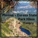
Plumas – Eureka State Park, History and Hiking
The Eureka Peak loop trail starts at the dam and goes up. There are great views of Eureka Lake at several places along the trail. Once at the peak, 7,447 feet, you can look into the valley below and see clear over to Grass Lake.
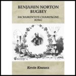
Biography of B. N. Bugbey, Sacramento ’49er Pioneer and Champagne King
My research took me to the Bancroft Library at UC Berkeley where I found some important letters and images of Bugbey’s Natoma Vineyard in El Dorado County. The letters, from a local Folsom resident, describe how the prevailing opinion of the town was that Bugbey himself had set the 1871 fire that burned several buildings including his wine storehouse. The gossip was that he was in financial troubles and needed the insurance money.
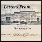
Albert Gallatin Correspondence 1875 – 1894
1887 Gallatin Steffens: Letter noting the sale from Gallatin to Joseph Steffens, E ½ of Lot 5 between I and J streets and 18 and 19 streets. Gallatin sold his Victorian mansion to Steffens that later became the California Governor’s Mansion.
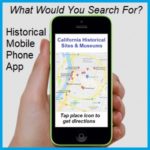
A Mobile Phone App For Historical Sites & Museums
Develop a mobile application that tourists, visitors, and local residents can download onto their mobile device that would show a variety of historical sites, structures, landmarks, and museums within prescribed radius around their current location or region they may be visiting in the future. Some people have compared the historical sites mobile app to the dating apps, where the history lover is searching for an afternoon date at a historic site or museum.
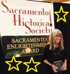
Tower Records, Railroad, Historians, Preservationists Honored At Sacramento Historical Society Gala
It started as a small idea to honor regional Sacramento residents for their contributions to preserve our history, historical buildings and infrastructure. It quickly ballooned into a gala event that was very challenging for the small Sacramento Historical Society organization. Fortunately, we all kept the goal of acknowledging the substantial accomplishments of so many deserving people first and foremost as we organized the event.
1848 Map Of Gold Mines On The South Fork Of the American River
It has been pointed out that several features or bends of the American River are not illustrated. I don’t believe it was the intent of the map maker to accurately depict river but to note its relative position to the mines. The distances of 25 miles to the lower mines and of 50 miles to the upper mines is pretty accurate. The lower mines were also known as Mormon Island for the first group of miners who did extensive mining after the initial discovery of gold by Marshall. The distance to the upper mines, site of Marshall’s gold discovery is also relatively accurate considering hilly terrain that had to be traversed to get to the location.