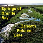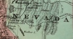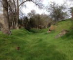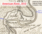
For history buffs there is nothing closer to heaven than examining an old map. I share that fascination and also enjoy sharing old maps that I’ve found. Recently I uploaded a map published in 1910 by the American River & Natomas Water & Mining Company illustrating their network of canals. The map is generally topographically accurate and includes some place names not found on previous or later topographical maps.