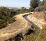
A group of Native Americans from Georgia settled in the area working the exposed auriferous gravel deposit north of Table Mountain and called the area Cherokee. By 1855 there were several small placer mining operations working the ground. By 1873 they had built the largest inverted siphon to carry water across the Feather River.
History From Kevin Knauss
Posts related to historical topics such the Gold Rush, early California, Maps, and historical documents.
Mt. Judah and Donner Pass Hike
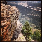
The original transcontinental tunnels and snow sheds over Donner Summit were abandoned in 1993 for the tunnel under Mt. Judah. After hiking to the top of Mt. Judah you can walk the many miles of tunnels and cliffs blasted out by Chinese labor in the 1860’s. The concrete snow sheds that replaced the wooden coverings that were prone to fire from the steam engine embers, is now a canvass for graffiti art.
Independence Trail Walk by South Yuba River
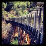
Maybe you can’t walk back in time, but you certainly can walk through part of California’s water history. Dug by hand in the side of the hill above the south fork of the Yuba River, the abandoned water canal and flumes have been transformed into a fairly easy, wheelchair accessible, hike. Named appropriately the Independence Trail, it’s more of a walk than a hike.
Humbug Trail Waterfalls and Tunnels
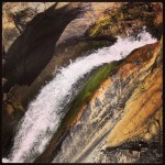
The destination was the outlet of the great North Bloomfield Tunnel that dumped gold bearing sediment from Malakoff Diggins into Mercury laden sluice flumes. We had seen the sign at the head of Humbug Trail indicating the trail was closed because of a damaged bridge. A little bridge doesn’t stop hikers on a mission…usually. But this one did.
Trails to Rails: Rush Ranch and Western Railway Museum
The new age of electricity ushered in the mass transit possibility of street cars. Even today the sight of an electric trolley car rolling down the tracks in this sparsely populated portion of California looks out of place. But the scenery of wheat fields, cattle and sheep grazing has changed little since the first trolley line rolled through the Montezuma Hills.
Auburn Quarry Crags Cave Valley Trail Hike
It feels like a miniaturized Yosemite when you first walk into Auburn Quarry Crags climbing park.
South Yuba River Covered Bridge and Trail Hike
The big attraction is the covered bridge built in 1862 after floods washed out the previous structure. The Point Defiance trail loop provides great views and takes you through a variety of ecological settings.
Mining Bars, Viaduct along American River Folsom Lake
South of Horseshoe bar you will come upon what is referred to as the NFD viaduct. This is an impressive structure built to conduct the water over a small ravine. Easily 15 feet tall and 40 feet in length, large granite blocks were carefully stacked to create what looks like a dam.
Pioneer Express Trail: Rattlesnake bar to Birdsall Dam
If you want to actually get to the base of the Birdsall Dam site, which was my goal, you have to be more adventurous. You must leave the Pioneer Express Trail and hike around the American River bottoms.
Folsom to Granite Bay: Sacramento, Placer and Nevada Railroad
It was perhaps the first publicly finance railroad in California. Unfortunately, the Sacramento, Placer and Nevada Railroad was cut short by an even larger publicly financed railroad know as the Central Pacific. (Click on the photos to enlarge, full gallery of images at end of post.) Iron horse for commerce As soon as the Sacramento Valley Railroad […]